Subject: France
Period: 1700 (circa)
Publication:
Color: Black & White
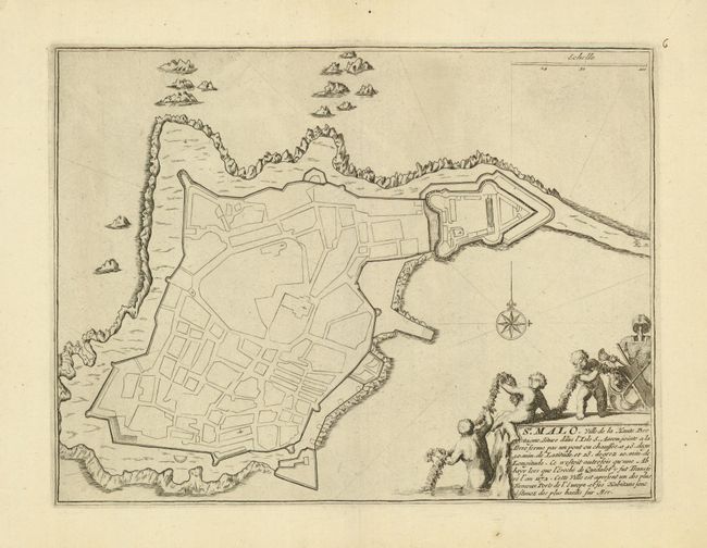
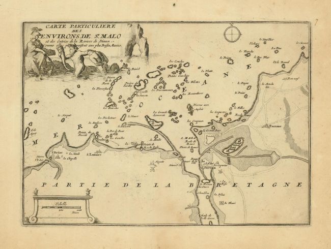
Two maps of this beautiful and historic city on the Normandy coast that features France's largest marina.
1) St. Malo, Ville de la Haute Bretagne…, (11.2 x 8.4"). This curious plan shows the fortified town with a skeleton outline of the streets but with no other detail or any place names. The decorative cartouche includes putti in a military and maritime based theme. A very nice example (A).
2) Carte Particuliere des Environs de St. Malo, (10.6 x 7.5"). This map has St. Malo at its center but extends along the coast to include Saint-Briac-sur-Mer, Saint-Luniare, and eastward to beyond Le Minihic. Also locates Parame and shows good detail along the Rance River. Lightly toned with a hint of foxing. (B+)
References:
Condition:
See individual descriptions.