Catalog Archive
Auction 135, Lot 497

"Territorium Argentoratense", Jansson, Jan

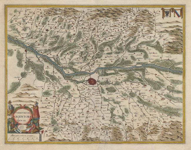
Subject: France and Germany

Period: 1647 (circa)

Publication: Atlas Novus

Color: Hand Color

Size:
19.2 x 14.8 inches
48.8 x 37.6 cm
Download High Resolution Image
(or just click on image to launch the Zoom viewer)

A finely engraved map centered on the city of Strassburg. The map is orientated with east at the top and includes the Rhine from Drusenheim to Rhinau. The decorative cartouche includes figures showing the customary dress of both peasants and nobles. Two coats of arms balance the composition in the upper right corner. Engraved by Petrus Kaerius.

References:

Condition: B+

A few worm holes have been infilled and the centerfold has been reinforced. The margins have been slightly trimmed, but are still ample.

Estimate: $300 - $375

Unsold

Closed on 2/16/2011

Archived