Catalog Archive
Auction 135, Lot 451

"An Accurate Map of North Wales, Divided into its Counties; … Improved from the Best Surveys & Intelligences and Illustrated with Historical Extracts Relative to its Air, Soil, Natural Produce, Trade Manufactures &c.", Bowen, Emanuel
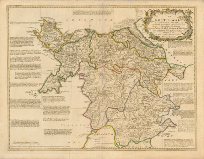
Subject: Wales

Period: 1760 (published)

Publication: The large English atlas

Color: Hand Color

Size:
26.3 x 20.2 inches
66.8 x 51.3 cm
Download High Resolution Image
(or just click on image to launch the Zoom viewer)

This informative map of North Wales is filled with detail of the counties. The roads are shown with their distances in miles and furlongs and details include the locations of mines, market towns, rectories, vicarages, abbeys, castles and parliamentary towns. Extensive notations throughout the map provide information on the major towns and counties including the dates of annual market fairs. Published by Thomas Bowles, John Tinney, Robert Sayer and John Bowles.

References:

Condition: B+

Original color with mild toning and a couple of extraneous creases.

Estimate: $350 - $400

Unsold

Closed on 2/16/2011

Archived