Catalog Archive
Auction 135, Lot 359

"West Indies, agreeable to the most approved Maps and Charts", Kitchin, Thomas
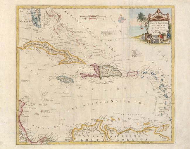
Subject: Caribbean

Period: 1785 (circa)

Publication:

Color: Hand Color

Size:
15 x 13.2 inches
38.1 x 33.5 cm
Download High Resolution Image
(or just click on image to launch the Zoom viewer)

This nicely detailed map shows the colonial possessions in the West Indies. It covers from Florida, with its southern tip made up of several large islands, through the Bahamas to the northern coast of South America. An interesting note describes Cays as "small rocky islands with ouzey shores, where boats, or little sloops, if run aground, are easily got off."

References:

Condition: A

There is some minor creases, else fine.

Estimate: $200 - $250

Sold for: $275

Closed on 2/16/2011

Archived