Subject: California
Period: 1853 (dated)
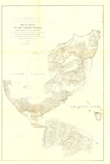
Publication: U.S. Pacific Railroad Surveys
Color: Black & White
Size:
20 x 30.5 inches
50.8 x 77.5 cm
Very detailed map of the region centers on Tejon Pass, including the Tulare Valley, and the Kern and Buenavista Lakes. Walker's Pass, Hum-pah-map Pass, Tah-ee-chay-pay Pass, Tejon Pass, Arroyo de las Uvas, Arroyo de San Arminio, and Fremont's route through the region in 1844 are located. A wagon road through Tejon Pass and a new pass leading to Los Angeles are also identified. Topography is denoted through finely engraved hachure.
References:
Condition: B+
A very nice example, clean and bright with the majority of the map surface flawless. Issued folding, now flattened and backed with archival tissue to support folds. At upper left a small piece of paper replaced with 1/4" of border in facsimile and a few other small flaws in same area.