Subject: Reference Books
Period: 1980-87 (published)
Publication:
Color:
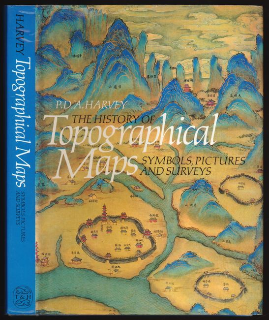
1) The History of Topographical Maps, Symbols, Pictures and Surveys by P.D.A. Harvey, 1980, and published by Thames and Hudson (7.5" x 10"). This interesting reference examines the beginnings and early development of the topographical map, as opposed to the history of cartography. 199 pp. with more that 100 illustrations, some in color. First edition. Blue cloth binding, with illustrated dust jacket. Near fine. (A)
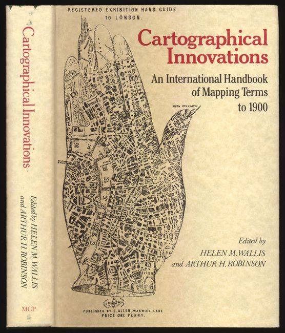
2) Cartographical Innovation was edited by Helen M. Wallis and Arthur H. Robinson, 1987 (7" x 10"). This great reference book explores the history of cartographic discoveries and their diffusion through cultures. Describes when processes and techniques began, when materials were first used and traces the world-wide advancement in the science and art of cartography. With a general index and a second Index to Bibliographies. Published by Map Collector Publications in association with the International Cartographic Association. (A+)
References:
Condition:
Both with book plate from prior owner.