Catalog Archive
Auction 134, Lot 660

"Maldivae Insulae", Langenes, Barent

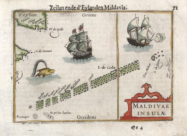
Subject: Indian Ocean, Maldives

Period: 1598 (published)

Publication: Caert-thresoor

Color: Hand Color

Size:
4.8 x 3.4 inches
12.2 x 8.6 cm
Download High Resolution Image
(or just click on image to launch the Zoom viewer)

North, with the tips of India and Sri Lanka, is on the left of this delightful miniature map of the Maldives. These atolls were strategically important along the major marine routes of the Indian Ocean, which are represented by the two sailing ships. The map was published by Cornelius Claesz and printed by Langenes in the first edition of the popular Map-treasury. Dutch text on verso.

References: King (2nd ed.) p. 80-82.

Condition: B+

There are some light printer's ink smudges in the map. The margin corners have been professionally restored, well removed from the map.

Estimate: $110 - $160

Sold for: $80

Closed on 12/1/2010

Archived