Catalog Archive
Auction 134, Lot 531
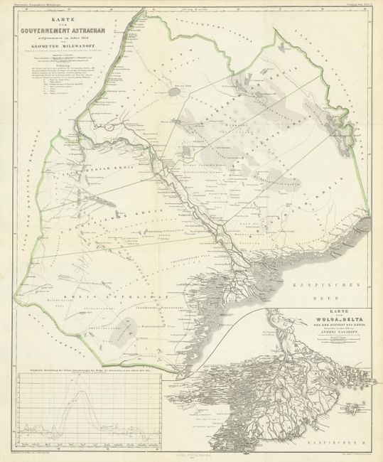
"Karte von Gouvernement Astrachan - aufgenommen im Jahre 1852 vom Geometer Milewanoff [on sheet with] Karte vom Wolga-Delta und dem Distrikt der Bugor. - Entworfen im Jahre 1856 von Andrei Nasaroff, Conduktor der K. Russ Astrachanschen Salz-Verwaltung.", Petermann, Augustus Herman
Subject: Russia
Period: 1858 (circa)
Publication:
Color: Hand Color
Size:
16.6 x 20.6 inches
42.2 x 52.3 cm
Download High Resolution Image
(or just click on image to launch the Zoom viewer)
(or just click on image to launch the Zoom viewer)