Catalog Archive
Auction 134, Lot 497
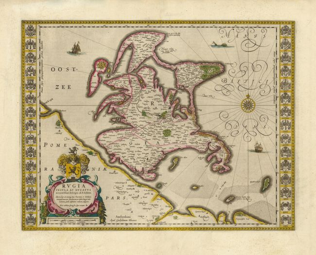
"Rugia Insula ac Ducatus accuratissima descripta ab E. Lubino…", Blaeu, Willem

Subject: Germany
Period: 1635 (circa)
Publication:
Color: Hand Color
Size:
19.5 x 15 inches
49.5 x 38.1 cm
Download High Resolution Image
(or just click on image to launch the Zoom viewer)
(or just click on image to launch the Zoom viewer)

