Subject: Peru
Period: 1865 (published)
Publication: Atlas geografico del Peru
Color: Black & White
These fine, tinted lithographs are from the first atlas of Peru. It was compiled by Mariano Felipe Paz Soldán, the important Peruvian historian and geographer, and published by the order of President Castilla. These are from the French edition.
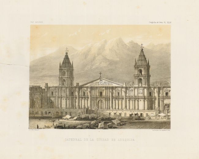
Catedral de la Ciudad de Arequipa (11.3 x 8.4) A tear entering 6" into the view is close on verso with paper tape.
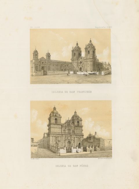
Iglesia de San Francisco / Iglesia de San Pedro (7.7 x 12.2) Minor foxing and damp stains.
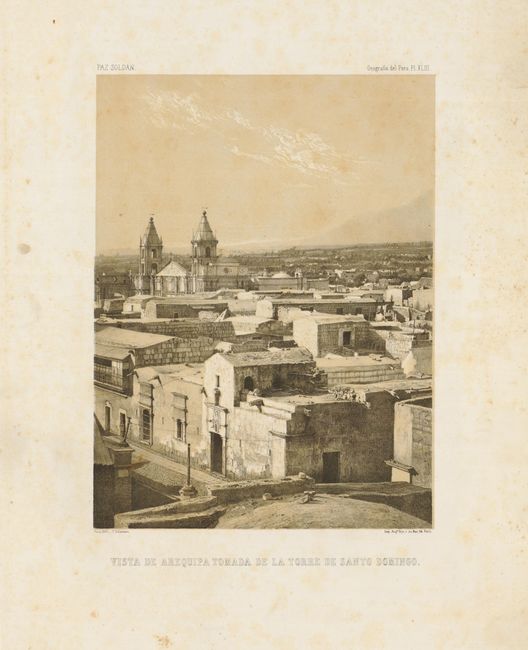
Vista de Arequipa Tomada de la Torre de Santo Domingo (8.4 x 11.2) Faint foxing, mostly in the margins.
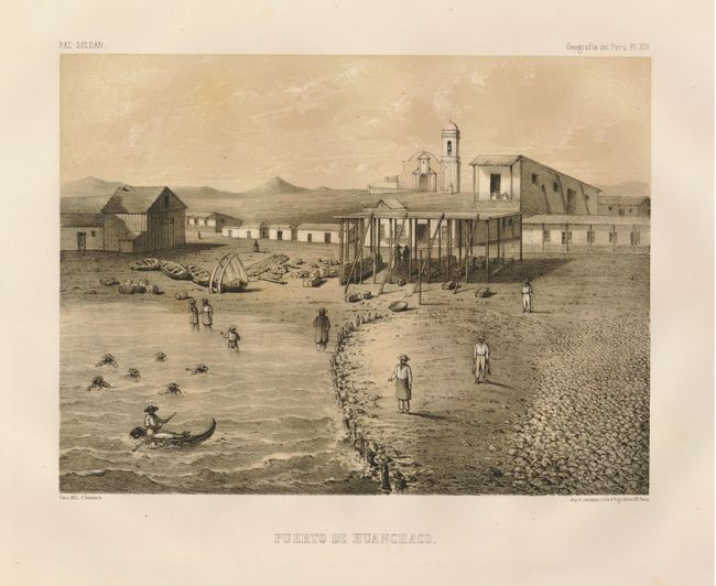
Puerto de Huanchaco. (11.3 x 8.4). Foxing confined to the margins.
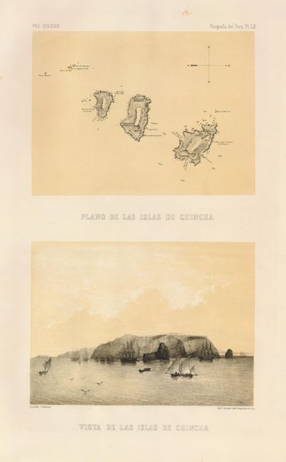
Plano de las Islas de Chincha / Vista de las Islas de Chincha (7.5 x 12.5) Foxing confined to the margins.
References:
Condition: B+
See description.