Subject: Arizona
Period: 1896-1909 (dated)
Publication: Department of the Interior
Color: Printed Color
Size:
16.8 x 20.3 inches
42.7 x 51.6 cm
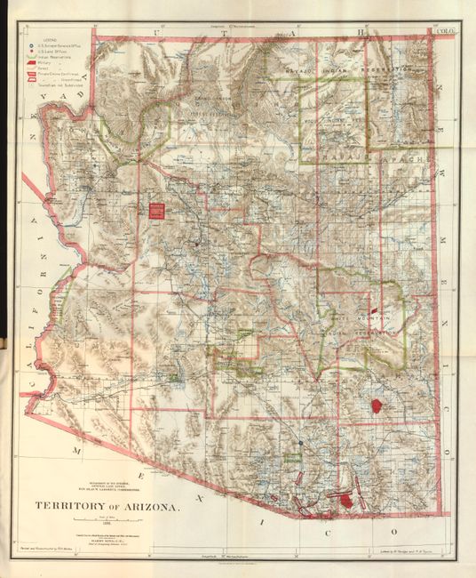
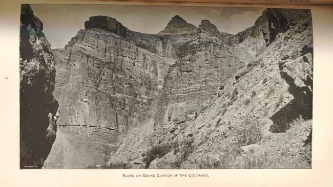
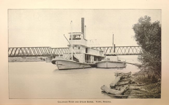
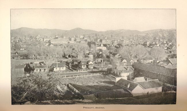
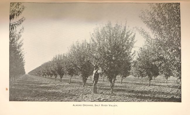
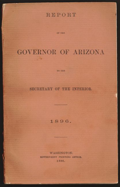
1) Territory of Arizona , 1896. This beautifully colored and highly detailed map shows the extent of nine Indian reservations and at least four military reservations including Fort Apache. Indian reservations are outlined in green, military reservations are shown in solid red, and private claims, confirmed and unconfirmed, outlined in red. The Grand Canyon Reserve is shown. The brown hachured mountain areas and the blue waterways combine to provide great visual impact. Information includes watershed, mountains, railroads, wagon roads, private claims, unsurveyed townships, etc. The Hopi reservation is still called the "Moqui" reservation. This edition was revised and reconstructed by R.H. Morton. A very handsome and historical map. The map is bound in the original "Report of the Governor of Arizona to the Secretary of the Interior," 1896 (6" x 9"). Paper covers, 142 pp with text and tables describing the territory including immigration, taxation, mining, banks, railroads, and much more. The map is seldom seen with its original report.
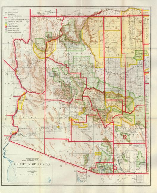
2) Territory of Arizona, 1909. A very colorful map that provides a detailed look at the territory just three years before statehood. Map details include watershed, mountains, railroads, wagon roads, land claims, unsurveyed townships, and much more. The map details the extent of National Forest (not Forest Reserves as on previous editions), Indian Reservations, Military Reservations and Private Land Grants. Also includes the new categories of National Monuments and National Game Preserves. Good detail of the large number of railroads of the day. The large extent of the Grand Canyon Forest Reserve and National Park is delineated. The use of brilliant colors gives this map a vibrant visual impact.
References:
Condition: A
The 1896 map is folding and still bound in the report, near fine (A). The reports contents are very good, tight and clean but the paper covers have wear and lifting at the spine and a small chip at right edge on front cover (B+). The 1909 map is folding as issued, clean and bright (A+).