Subject: Western United States
Period: 1908 (dated)
Publication:
Color: Printed Color
Size:
50.8 x 73.5 inches
129 x 186.7 cm
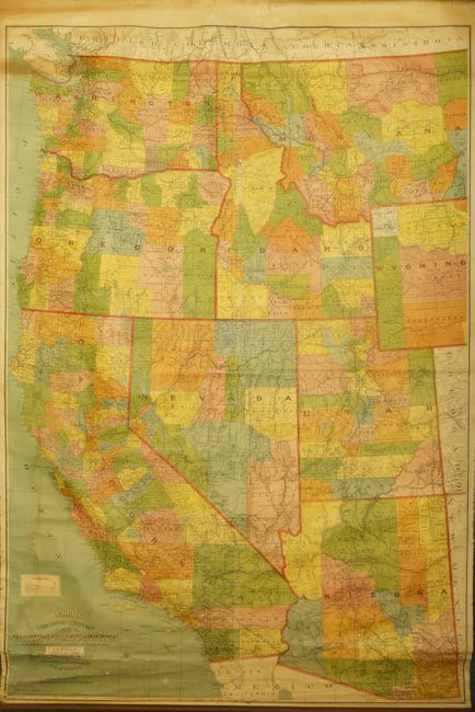
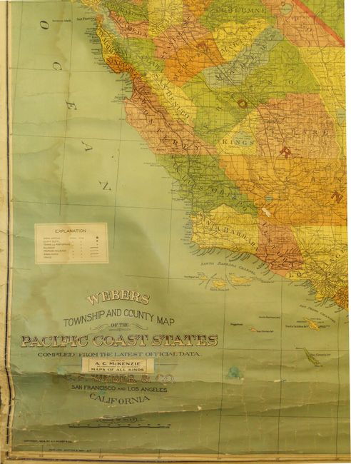
This highly detailed wall map shows all of Washington, Oregon, California, Idaho, Utah, Nevada and Arizona with parts of Montana, Wyoming and Colorado. Fancy Victorian lettering in title combines with the color to make this a handsome lithographed map. The legend locates Capitals, County Seats, Towns and Post offices, Railroads and those proposed, Wagon Roads and Trails. We find no reference to this large and uncommon map in which California alone is nearly four feet tall! Filled with settlements and roads long gone now. In title block is the original seller's label "A.C. McKinzie 245 Montgomery Street San Francisco "Maps of All Kinds." Both rollers present with original attachments. The upper roller is Hartshorn's "Improved Adjustable 1-1/4 Inch Roller" with original paper label explaining its use. Several patent dates noted between 1867 and 1901. This map was produced in San Francisco by Lithographers Britton & Ray.
References:
Condition: A
Very nice example with strong color and sound paper. A few spider line paper surface cracks as always seen, a little water staining along left margin, and some light toning around Vancouver Island, otherwise near fine example which is remarkable for a wall map of this size.


