Catalog Archive
Auction 134, Lot 197

"Map of the Surveyed part of Wisconsin Territory Compiled from Public Surveys…", U.S. State Surveys

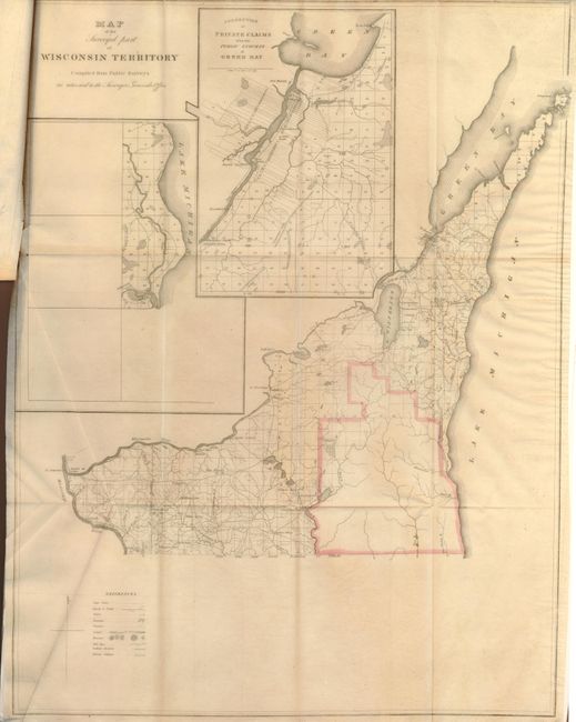
Subject: Central United States, Wisconsin and Arkansas

Period: 1835 (published)

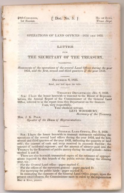
Publication: HR Doc #5, 24th Congress, 1st session

Color: Hand Color

Size:
16.8 x 21.8 inches
42.7 x 55.4 cm
Download High Resolution Image
(or just click on image to launch the Zoom viewer)

This is a great early map of Wisconsin showing the surveyed part between the Illinois border and the Wisconsin River. A large inset shows the "Connection of Private Claims with the Public Surveys at Green Bay" and a smaller inset depicts the mouth of the Milwaukee River and vicinity. Complete with the full, disbound report detailing the operations of the Land Offices - 1834-1835. It also includes three small sketches of parts of Wisconsin and a large (23 x 20") Map of Arkansas, which shows the counties proposed for survey in the next season (at a total cost of $1,158.00!)

References: Claussen & Friis #100.

Condition: B+

Maps folded into report, with a few minor fold separations. There is minor foxing and toning in the text.

Estimate: $150 - $190

Sold for: $110

Closed on 12/1/2010

Archived