Subject: Atlases
Period: 1883 (published)
Publication:
Color: Hand Color
Size:
15 x 18.5 inches
38.1 x 47 cm
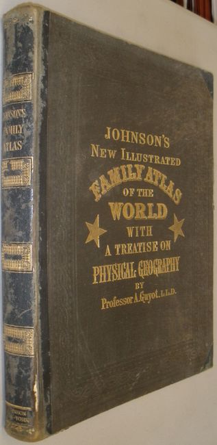
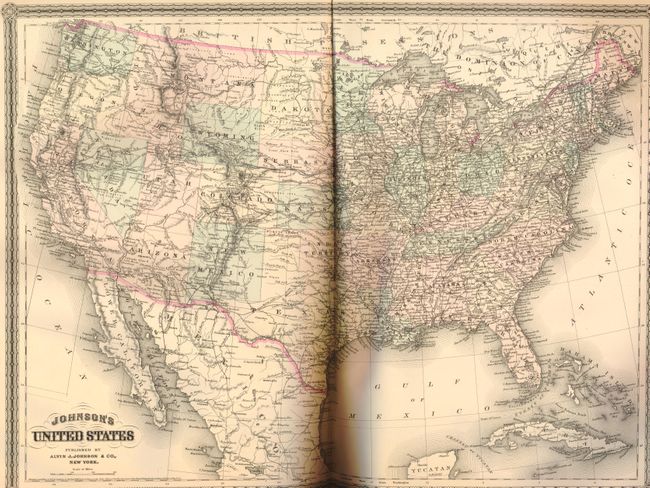
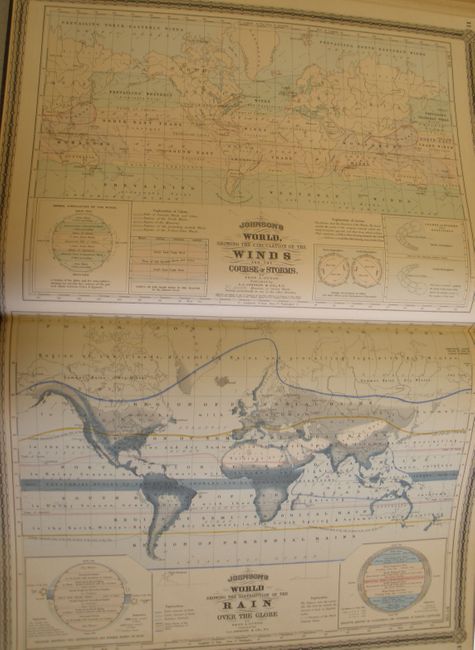
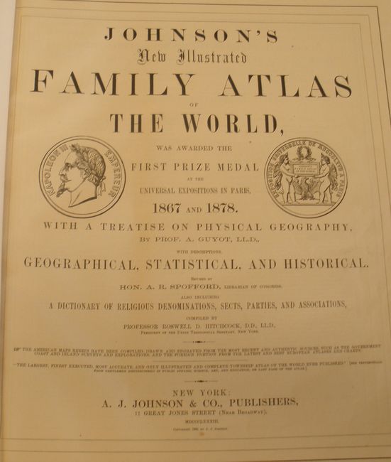
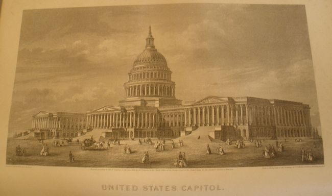
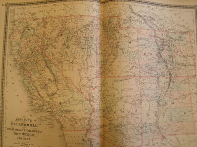
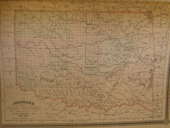
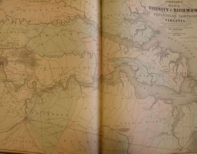
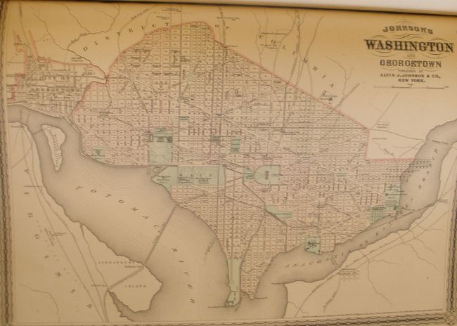
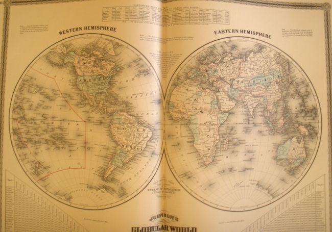
This is a great example a later edition of Johnson's atlas with re-engraved maps, each with lace-like borders. In addition to the normal complement of maps, this atlas contains several colorful thematic maps and charts by Arnold Guyot. With a very uncommon mountains and rivers plate that has the large double page sheet vertically divided into five panels, each is titled "Chart of Comparative Heights of Mountains, and Lengths of Rivers", one for Africa, Asia, South America, North America, and Europe. The Flags of the Nations map is particularly brilliant. Also contains the Civil War "Map of the Vicinity of Richmond and Peninsular Campaign in Virginia;" double-page plans of Boston, Philadelphia, and New York City; a nice double-page map of Texas; and the large "California, also Utah, Nevada, Colorado, New Mexico and Arizona" map. Complete with all called-for maps and including four maps that are not listed or numbered: Philadelphia; Colorado; Indian Territory; and the Kansas and Nebraska. Map page 14-15 is not present and is not called for in the Contents page. In all there are 76 maps including 52 double-page and 24 single sheets plus a full page engraved frontispiece of the U.S. Capitol building. There are 35 maps of US interest. This is a premier bound example hardbound in original brown cloth with embossed gilt on cover and spine, gold on all foredges (T.E.G), and marbled end papers. An exceptional example that desires to be included in a fine collection of atlases.
References:
Condition:
Lovely example in much better condition than this atlas is normally found. Except for the occasional scattered foxing on only a few text pages, the contents would be considered fine and in any event is the best 1880s example we've seen. All maps are flawless and mint except Florida which is only A with a few foxing spots in upper margin, well away from map image. Covers have shelf wear with rubbing at spine with wear through of cloth at lower front of spine, also on outer edge.