Subject: Atlases
Period: 1858 (dated)
Publication:
Color: Hand Color
Size:
10 x 12 inches
25.4 x 30.5 cm
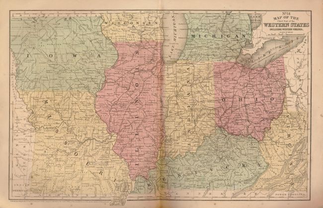
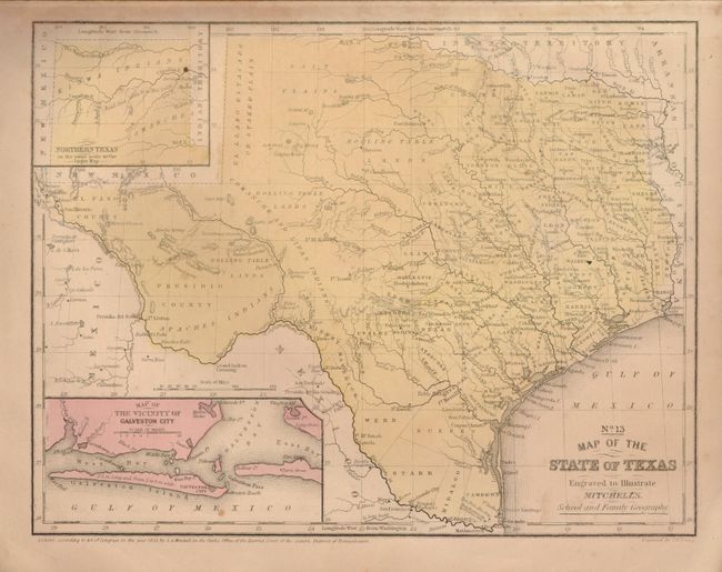
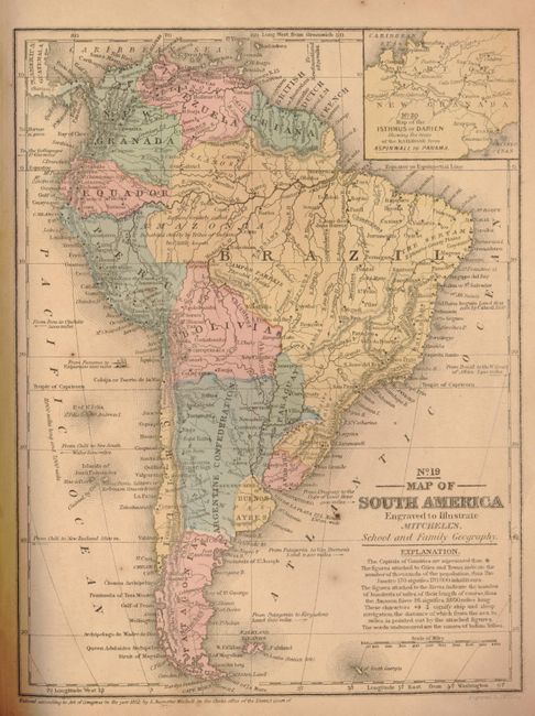
This is a good example of Mitchell's famous school atlas complete with 32 maps (some back to back) along with tables and statistics. Very clean copy with no notations except for a previous owner's name in pencil on inside cover. U.S. map with Arizona named in the southern portion of New Mexico but not delineated as in some examples of this atlas. The western territories are in some of their largest and most interesting configuration. Includes the desirable "No. 13 Map of the State of Texas". Hardbound with pictorial paper over boards. Published by E.H. Butler & Co. and printed by Sheldon, Blakeman & Company in New York.
References:
Condition: B+
The maps vary good to very good mostly due to some foxing. The maps of Oceania and Asia have browning and damage to lower right blank tip with paper missing. Binding is mostly good but lower left corner is missing front and back with loss to list of other publications for sale by E.H. Butler at extreme corner. End papers browned and foxed.