Catalog Archive
Auction 133, Lot 657

"[Lot of 2] De l'Afrique [and] Isles, Caps et Ports de Mer de l'Afrique", Clouet, Jean Baptiste Louis
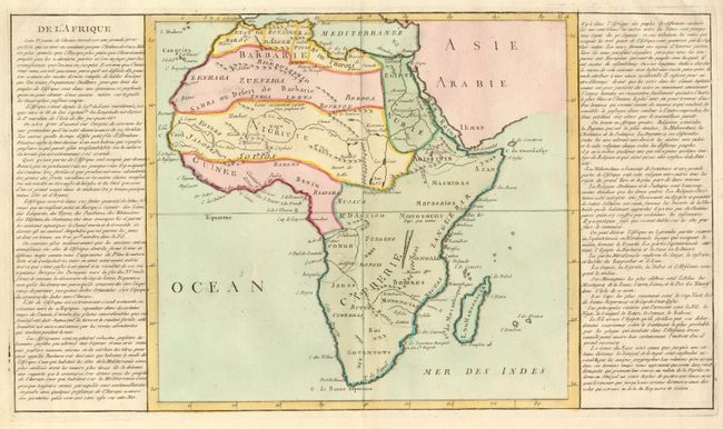
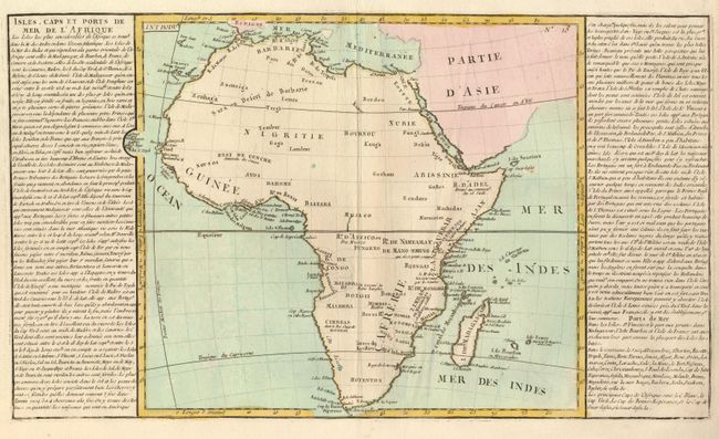
Subject: Africa

Period: 1767 (circa)

Publication: Geographie moderne

Color: Hand Color

Size:
21.5 x 12.4 inches
54.6 x 31.5 cm
Download High Resolution Image
(or just click on image to launch the Zoom viewer)

An interesting pair of continental maps. They are both presented in the style that gained great popularity in France at the end of the 18th century, where the map is flanked by lengthy text panels. de l'Afrique includes interior features, although they are sparse. The Nile originates well north of the equator in two small lakes in the Montagnes de la Lune. The map measures 13.4 x 12.3". Isles, Caps et Ports de Mer de l'Afrique focuses on the continent's coastline and islands, with the important ports shown. It measures 13.8 x 12.4".

References:

Condition: A+

Dark impressions with original color.

Estimate: $130 - $200

Sold for: $80

Closed on 9/1/2010

Archived