Subject: Roman Empire
Period: 1800-1880 (circa)
Publication:
Color:
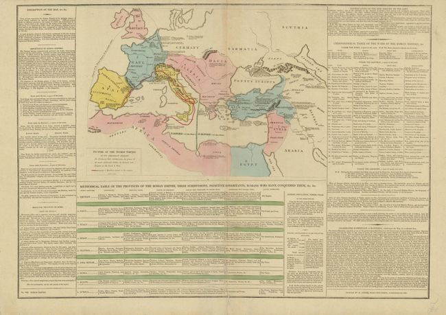
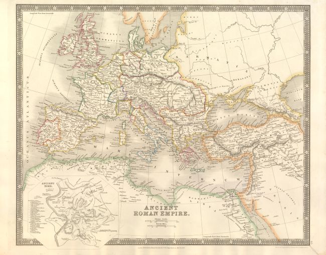
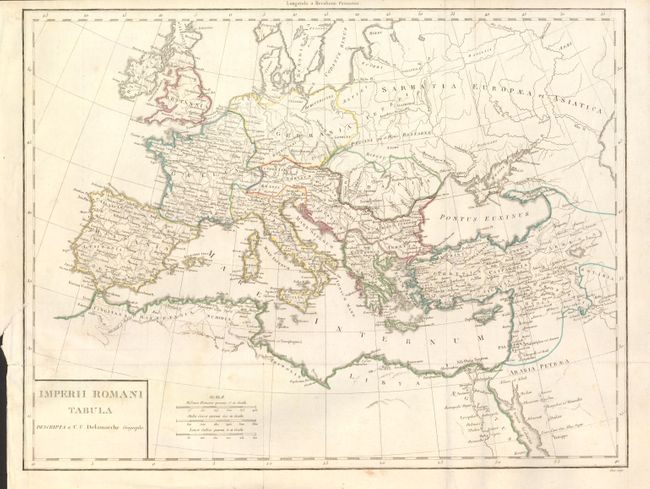
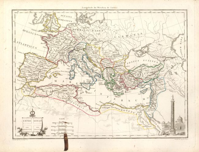
This is a varied lot of maps illustrating the Roman Empire. They are primarily mid-19th century atlas maps, but include Didot's Picture of the Roman Empire in it Greatest Extent, circa 1807; Teesdale's Ancient Roman Empire, 1831; Delamarche's Imperii Romani Tabula, circa 1840; and several other similar maps. Hand colored, except for one in printed color. Size varies 10.5 x 8" to 25 x 17.5". Sold without reserve and not subject to return.
References:
Condition:
Condition varies between fair and very good, most being good. The Le Sage map has a fold separation in the text, the Delamarche has a short tear into the map, and one other has a fold separation.