Catalog Archive
Auction 133, Lot 479

"Populorum Germaniae Inter Rhenum et Albium Descriptio…", Cluver, Philipp
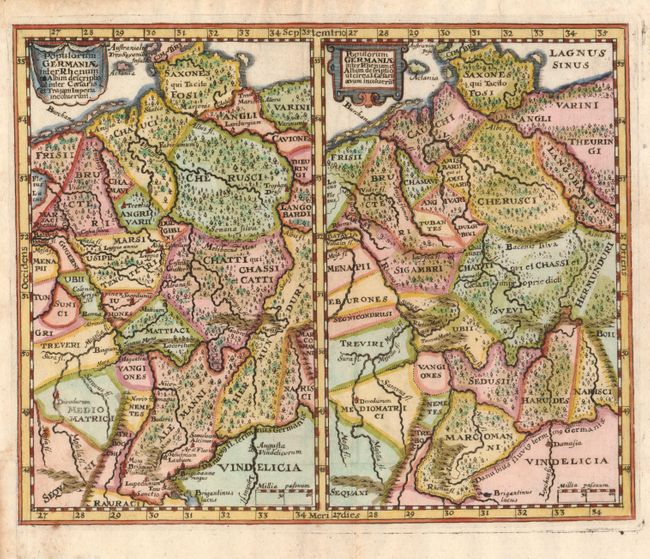
Subject: Germany

Period: 1694 (published)

Publication: Introductionis in Universam Geographicam

Color: Hand Color

Size:
9.5 x 7.8 inches
24.1 x 19.8 cm
Download High Resolution Image
(or just click on image to launch the Zoom viewer)

Two maps, on one sheet, covering the same area (nearly all of present day Germany). The maps show subtle differences in the political boundaries and place names during the Roman period, under the administration of Caesar and Trajan. An interesting comparison for the collector of German cartography.

References:

Condition: A

The binding trim at lower left has been replaced to accommodate framing.

Estimate: $110 - $150

Unsold

Closed on 9/1/2010

Archived