Catalog Archive
Auction 133, Lot 247

"State of Louisiana", General Land Office
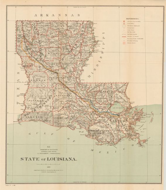
Subject: Louisiana

Period: 1879 (dated)

Publication: Sen. Ex. 31, 48th Congress, 1st Session

Color: Printed Color

Size:
21.8 x 24.8 inches
55.4 x 63 cm
Download High Resolution Image
(or just click on image to launch the Zoom viewer)

This finely engraved and detailed map was drawn by C. Roeser, Principal Draughtsman while J.A. Williamson was Commissioner. The map provides excellent detail of the entire state to include all towns and villages, roads, railroads and filled with watershed information. Good detail of coastal wetlands and waterways. The legend identifies completed railroads, railroad limits, Private Grants, townships subdivided, partially subdivided and those "missing." From the annual report of the Commissioner.

References:

Condition: A

Small puncture in map invisibly closed on verso, otherwise near fine.

Estimate: $200 - $250

Sold for: $150

Closed on 9/1/2010

Archived