Subject: Los Angeles, California
Period: 1915-1923 (dated)
Publication:
Color: Black & White
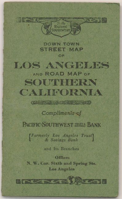
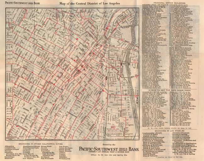
1) Down Town Street Map of Los Angeles and Road Map of Southern California, by Franklin P. Borgnis, 1922, (11 x 9"). This great advertising map is a miniature pocket map that folds into paper wrappers (2.3 x 3.8"). The title given is on the cover. One side of the map is "Map of the Central District of Los Angeles" with an extensive index at right. Red overprinting is used to delineate the routes of the Yellow Car and Red Car lines. The verso is an uncommon birds-eye view of the valley "Motor and Relief Map of Southern California…" to include portions of Los Angeles, San Bernardino, Riverside and Orange Counties. Extends east to include Perris, Murieta and Elsinore and along the coastline to San Juan Capistrano. Fine. (A+)
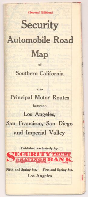
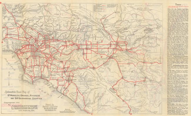
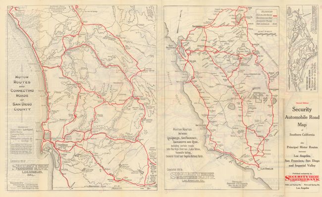
2) Security Automobile Road Map of Southern California also Principal Motor Routes between Los Angeles, San Francisco, San Diego and Imperial Valley,
by O.K. Parker, 1916, (27 x 16"). Self folds into brochure with title as given. The main map is "Automobile Map of Los Angles, Orange, Riverside and San Bernardino Counties, dated 1916. Red overprinted to show suggested tour routes described along right panel. On the verso are two maps: "Motor Routes and Connecting Roads of San Diego County" and "Motor Routes between Los Angeles, San Francisco, Sacramento and Reno. Both also with red overprinting to detail principle auto routes. The cartography is by "Engineer O.K. Parker of L.A." Fine example. (A+)
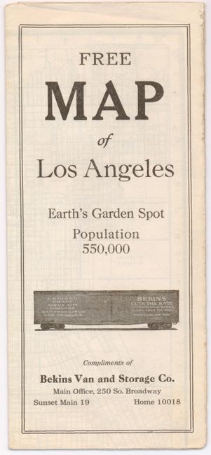
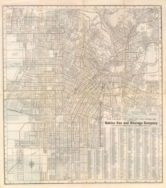
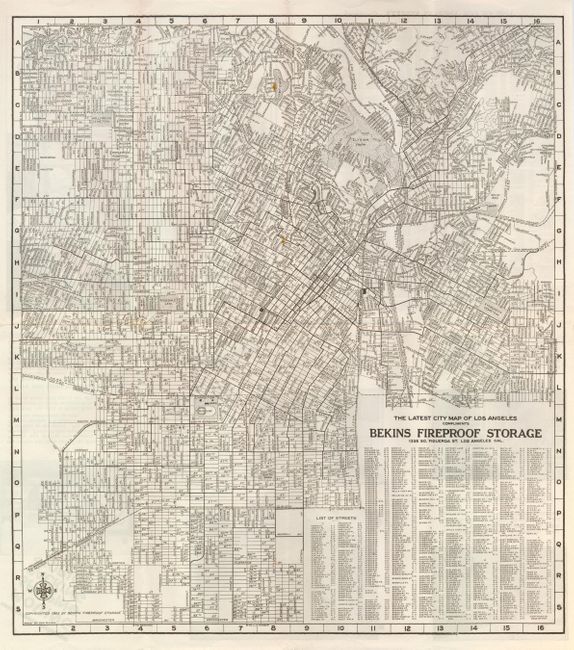
3) The Latest City Map of Los Angeles Compliments of Bekins Van and Storage Company, by Bekins Van and Storage Company, ca. 1915, (15 x 17"). This folding map is undated and is highly detailed to show and name all streets. Extends south to Manchester, east to Rose Hill and the Boyle Heights District, north to Hollywood Blvd and east to show the Wilshire District and part of Inglewood. Full index to all streets at lower right. All Bekins storage locations are noted on the map. The verso is devoted to advertising text and photographs for the company. Population for L.A. is 550,000 providing our estimate of circa 1915. Weakness along centerfold with two long splits. (B)
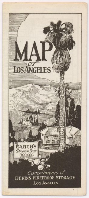
4) The Latest City Map of Los Angeles Compliments of Bekins Van and Fireproof Storage, by Don McLain, 1923, (17.2 x 15.2"). Another example of the previous map, this one dated 1923. This map is several years later as evidenced by the additional streets and other detail. The map shows the same area but the verso is more artistic with an Art Deco flair to its cover and border around a photograph. Nice example with one small spot in map, still very good. (A)
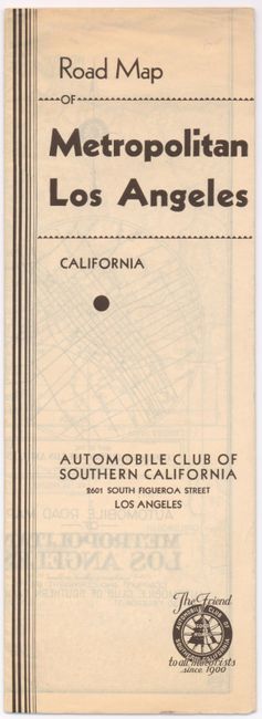
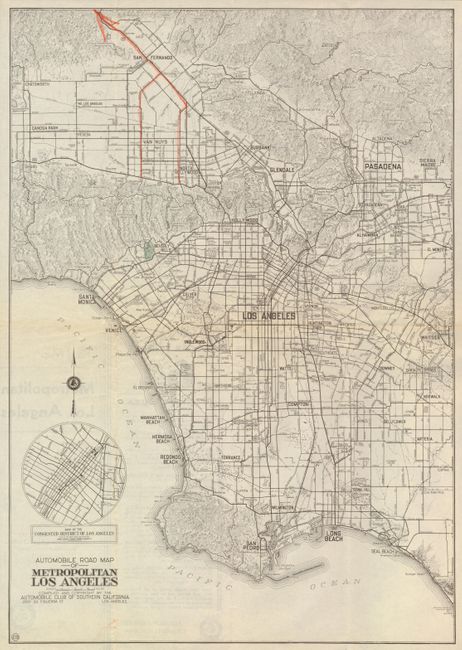
5) Automobile Road Map of Metropolitan Los Angeles, by Automobile Club of Southern California, (14.3 x 20.4"). Fine circa 1920 road map which extends to show Chatsworth, Pasadena, Whittier, Santa Monica, San Pedro and Long Beach. Locates the beach communities of Huntington, Sunset, Seal, Redondo, Hermosa, Manhattan and Topanga beaches. The long breakwater beyond the existing lighthouse of Los Angeles Harbor is "under construction." Circular inset is a "Map of the Congested District of Los Angeles." Very nice example. (A)
References:
Condition:
See individual descriptions.