Subject: United States and Canada
Period: 1856 (dated)
Publication:
Color: Hand Color
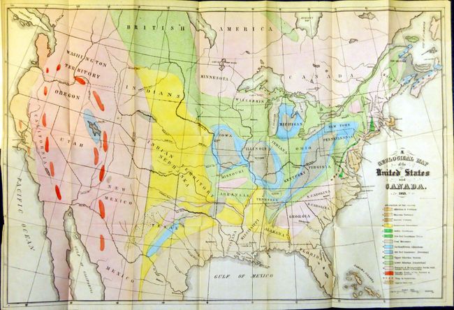
The first map (24.2 x 16") is Hitchcock's landmark map of 1853 which is unchanged from the first edition of this report. Essentially, it is a compilation of Lyell’s map for the eastern portion combined with M. Boue’s “Geological Map of the World” for the western portion modified by the author’s generalizations derived from the relations of geography to geology, as argued in the report. In this respect, he freely admits that such generalizations for the western US might be greatly erroneous. This map provides early detail of the geological formations. An explanatory key to the colors indicates fifteen geological formations.
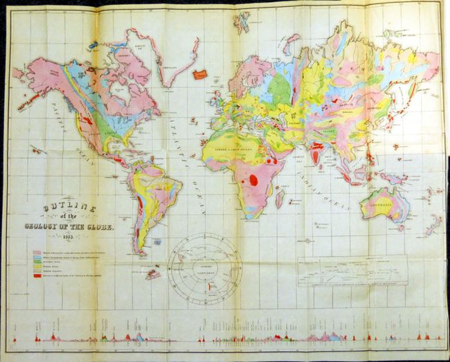
The second map (23 x 18") is drawn on Mercator's Projection. It shows the entire world with a separate hemisphere of the "Supposed Antarctic Continent" that locates Wilke's Land, South Victoria, Enderby Land and Cook's sighting of 1774. This map uses six different colors to locate as many geological formations. Along the bottom are the comparative heights of mountains and volcanoes aligned with the position on the map.
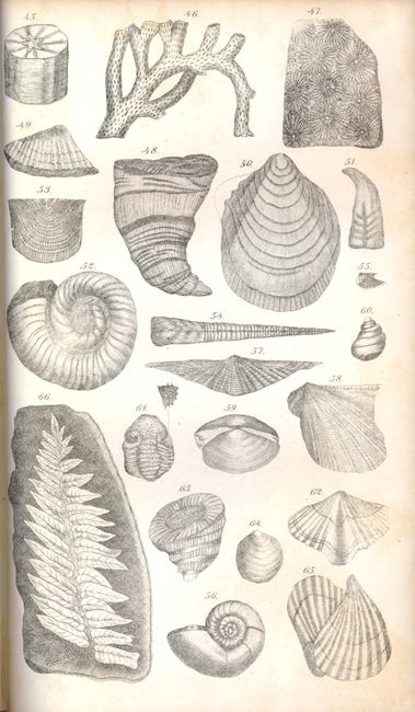
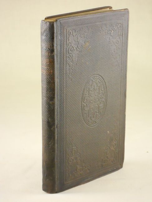
These important geological maps are bound in the original report "Outline of the Geology of the Globe, and of the United States in Particular; with Two Geological Maps, and Sketches of Characteristic American Fossils”," by Edward Hitchcock, Boston: Phillips, Sampson & Company, 1856, 5.5" x 9". Third edition, octavo, 136 pp., 6 plates, and 2 folding hand-colored geological maps. In original brown blind stamped cloth with gilt spine title. Published just three years after the first Boston edition of 1853, this work is notable for containing his first attempt at a geological map of the United States. His son C. H. Hitchcock also notes that "the part relating to the United States is the first attempt to show the distribution of rocks from the Atlantic to the Pacific border." The report and it's two maps are rarely seen together.
References: Marcou & Marcou #4 & #41.
Condition: A
The world map is near fine with just light toning on a couple fold panels, very good. The map of the United States is flawless (A+). Pages and plates are near fine. The covers show some light wear at the spine with the back cover just starting at spine.