Subject: Geography Books
Period: 1751 (dated)
Publication:
Color: Black & White
Size:
9 x 10 inches
22.9 x 25.4 cm
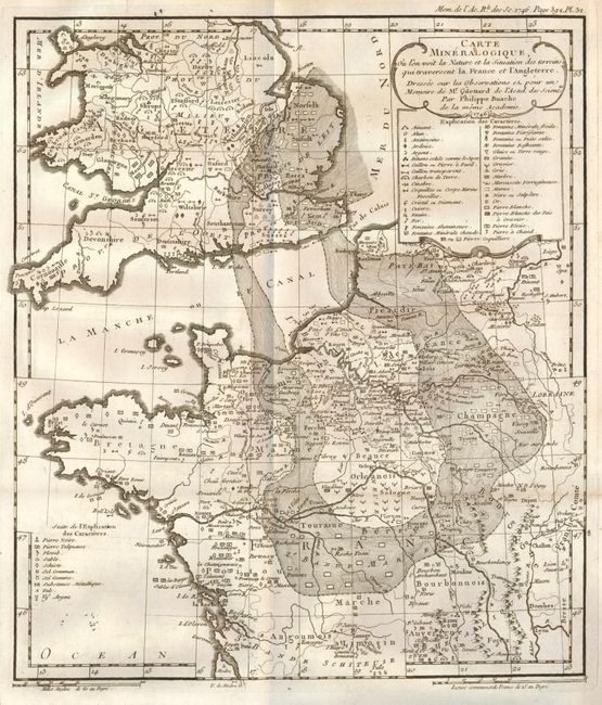
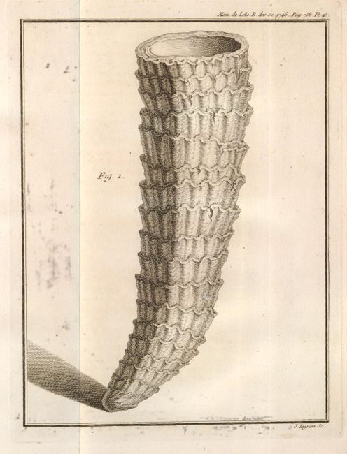
Jean-Etienne Guettard (1715-1786), a French scientist, was the first to attempt construction of geological maps beginning with a geological map of France and England in 1746. He was the first to announce the discovery of extinct volcanoes in Central France. He was also among the first to recognize the importance of organic remains as geological indicators and to prepare detailed figures and descriptions of them. His figures of fossil specimens included the first ever published illustration of a North American fossil.
His technique of creating geographical maps involved identifying the occurrences of minerals on a map using chemical symbols and then constructing “bandes” of rock formations having similar mineralogical characteristics. With reference to these maps, the distinguished 19th century Scottish geologist Archibald Geike sums up the importance of Guettard’s geocartographic insight: “These maps, as far as I know, were the first ever constructed to express the superficial distribution of minerals and rocks. The gifted Frenchman who constructed them is thus the father of all the national Geological Surveys which have been instituted by the various civilised (sic) nations of the Old and the New Worlds.”
Perhaps Guettard’s greatest achievement during his lifetime was the discovery of extinct volcanoes near Auvergne announced in “Memoire sur Quelques Montagnes de la France qui ont ete des Volcans”. This paper caused a sensation arousing much interest in Europe. The discovery would ultimately lead to one of the great scientific controversies of the last half of the eighteenth century and initial decades of the nineteenth century – the Vulcanist versus Neptunist debate over the origin of basalt.
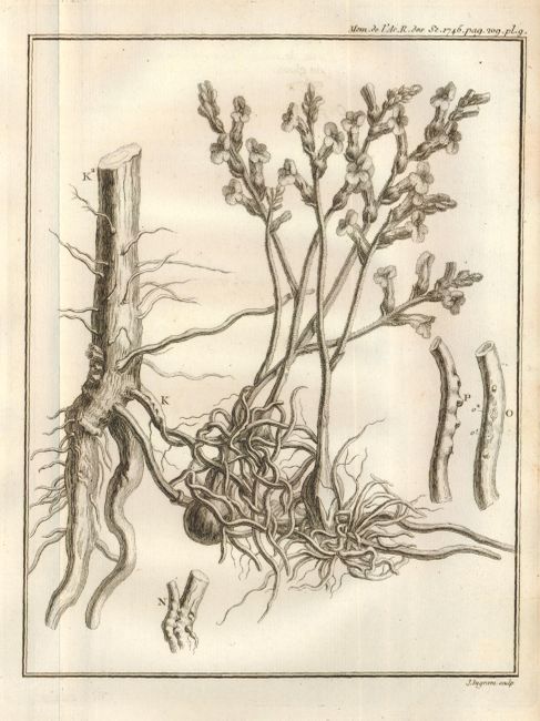
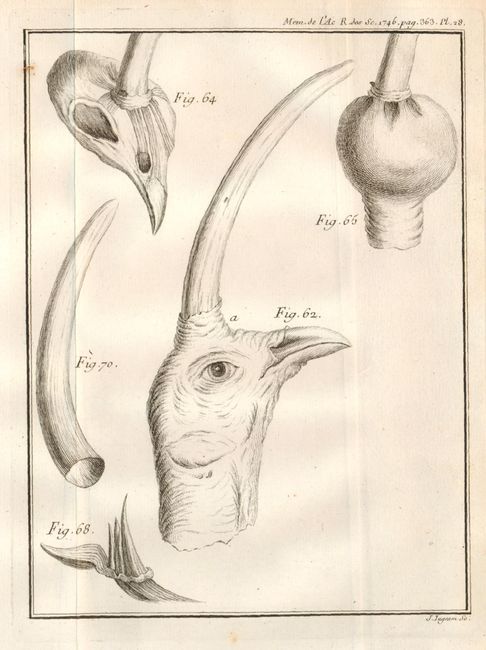
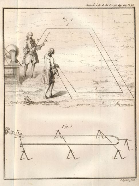
This volume contains numerous papers on biology, chemistry, astronomy, medicine, geodesy, fluid mechanics, plus Guettard’s influential article on the comparison of rock and mineral occurrences in France and England. Guettard’s maps, prepared by Buache, include Carte Mineralogique sur la Nature du Terrein d’une Portion de l’Europe (9" x 12.5") , a general map of western Europe extending from the Pyrenees to Iceland, and Carte Mineralogique Ou l’on voit la Nature et la Situation des Terreins qui traversent la France et l’Angleterre (10.5" x 12.3"), a map that extends from Auvergne in France to central England. This map is generally regarded as the first attempt to produce a geological map.
The title on the title page continues "avec les Memoires de Mathematique & de Physique, pour la meme Annee." First edition, quarto, [viii], 132 (Physique Generale), 758 (Memoires) pp. plus engraved frontis, 47 folding engraved plates and several maps. In original full leather with 5 raised bands, red, white, and blue marbled endpapers. All edges red. The consignor offers these references: Ward and Carozzi 970, Robinson p. 88 (illustration), Geike p. 115, Zittel p. 39.
References:
Condition: A
Light shelf wear to extremities and rubbing to boards. Hinges sound and binding tight. Text and plates are clean and unmarked except for some light foxing and offsetting. Very good overall.