Subject: Atlases
Period: 1815 (dated)
Publication:
Color: Hand Color
Size:
6 x 9 inches
15.2 x 22.9 cm
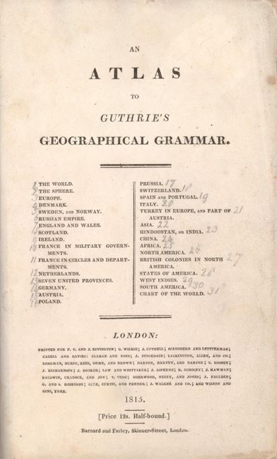
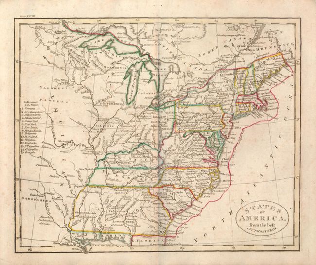
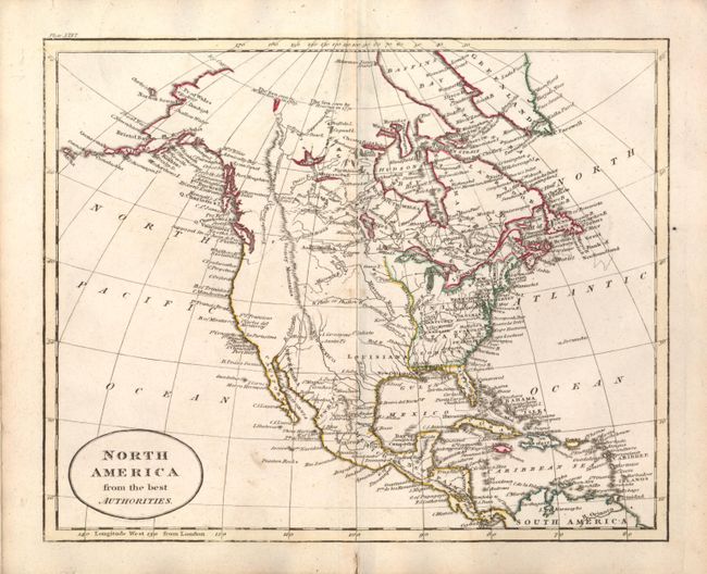
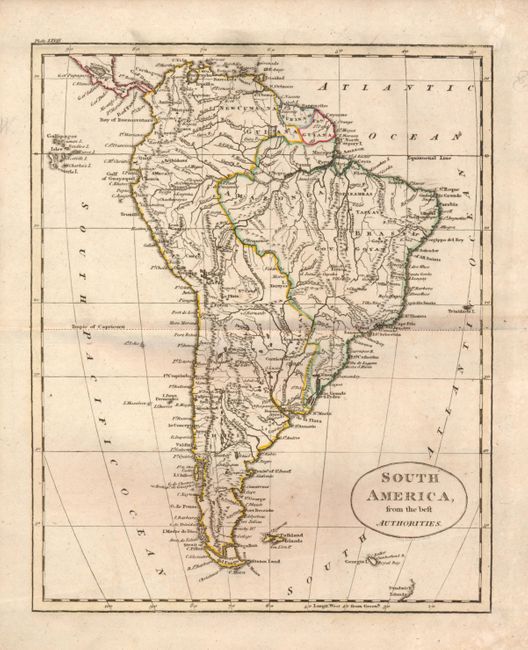
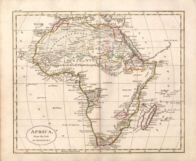
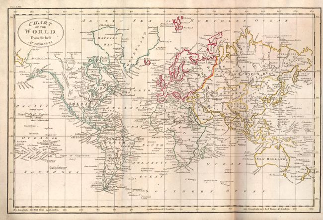
This is a complete and very nice atlas which is more often seen in the French edition. With 30 double page folding maps and a single page illustration of a sphere, each in attractive original outline color. The title page is dated 1815 and has a price of 12s. The two world maps are larger with double folds and finely engraved with very good detail. The maps cover all the continents and the important counties of the world of the period. Of special note are the great maps United States of America from the best Authorities; British Colonies in North America; North America; and the West Indies, which is a larger double folding map. Hardbound in marbled boards, title page with list of maps, 30 maps and charts.
References:
Condition: B+
The maps average very good, some with a little soiling mostly in the margins. About half of the maps have a short cut in the lower margin in the same location. The atlas has been beautifully rebound with modern boards with specked leather spine and raised ribs, new end papers. Binding is fine, contents tight.