Catalog Archive
Auction 132, Lot 592

"Palaestina", Anville, Jean Baptiste Bourguignon d'
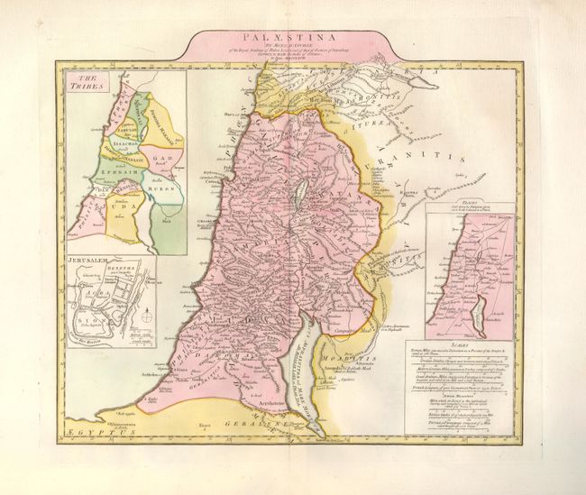
Subject: Holy Land

Period: 1767 (dated)

Publication:

Color: Hand Color

Size:
16.8 x 14.8 inches
42.7 x 37.6 cm
Download High Resolution Image
(or just click on image to launch the Zoom viewer)

This is a fine map of Palestine on both sides of the Jordan River, which includes a large bulge between the Lake of Tiberias and the Dead Sea. Insets show the twelve Tribes of Israel and a plan of ancient Jerusalem. The distance scales include Roman, Grecian, Arabian, French and Jewish Measures. This is the British version of this map, but without the publisher's imprint at bottom.

References: Laor #36.

Condition: A+

Printed on thick watermarked paper with huge original margins and fine original color.

Estimate: $200 - $250

Sold for: $130

Closed on 6/2/2010

Archived