Catalog Archive
Auction 132, Lot 502

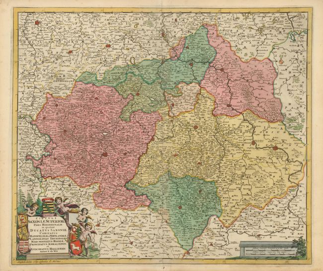
"Circuli Saxoniae Superioris Pars Meridionalis…", Wit, Frederick de
Subject: Germany

Period: 1710 (circa)

Publication: Atlas Maior

Color: Hand Color

Size:
22.5 x 19.2 inches
57.2 x 48.8 cm
Download High Resolution Image
(or just click on image to launch the Zoom viewer)

This finely engraved map of Sachsen and Thüringen in eastern Germany centers roughly on Leipzig and extends to Magdeburg, Dresden, and Göttingen. The map is decorated with a cartouche surrounded by lively cherubs holding the coats of arms of the duchies and principalities. Published in Pierre Mortier's reissue of De Wit's great atlas.

References:

Condition: B+

Lovely impression and original color with faint toning on centerfold. The margins have some minor toning and a couple short tears, not affecting the map. Library withdrawal stamp on verso.

Estimate: $250 - $350

Unsold

Closed on 6/2/2010

Archived