Catalog Archive
Auction 132, Lot 481

"Nouveau Plan Illustre de la Ville de Paris avec le Systeme Complet de ses Fortifications et Forts Detache, et des Communes de la Banlieue", Vuillemin, Alexander A.

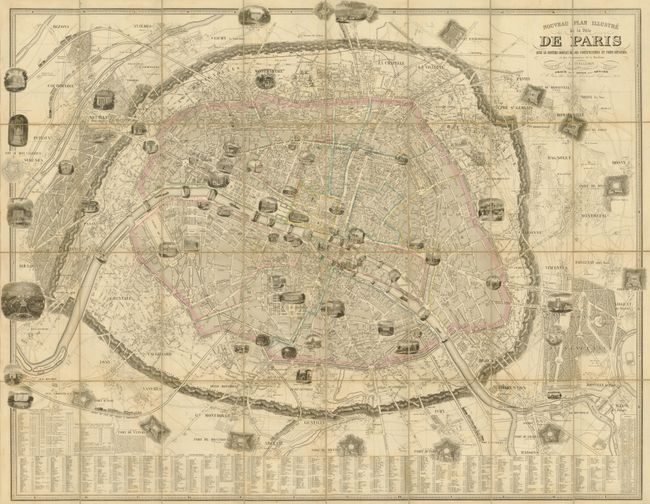
Subject: Paris, France

Period: 1853 (dated)

Publication:

Color: Hand Color

Size:
42.8 x 33.3 inches
108.7 x 84.6 cm
Download High Resolution Image
(or just click on image to launch the Zoom viewer)

This great plan of Paris conveys a wonderful amount of information including vignettes of major buildings, bridges, trains and monuments. It also includes table with an alphabetized street index; a list of suburbs with distances to Paris, populations and festival days; table listing forts surrounding Paris with distances to the center of the city; and a list of passages located throughout the city. The map is dissected into 32 segments and laid on linen, folded into the original, marbled-paper case with title on spine: "Paris et Ses Forts."

References:

Condition: B+

Original outline color with one separation of the linen at right. There is a small defect in the case, likely the result of a hungry rodent.

Estimate: $400 - $500

Sold for: $550

Closed on 6/2/2010

Archived