Catalog Archive
Auction 132, Lot 263

"Plan de la Ville de Boston", Bellin, Jacques Nicolas
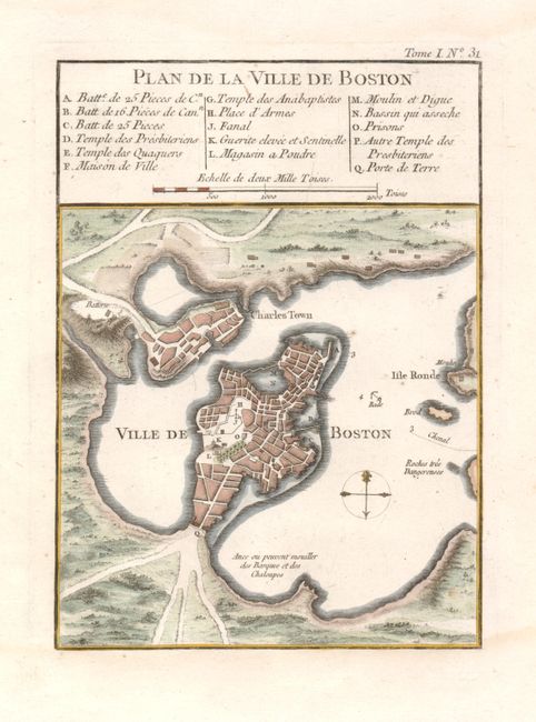
Subject: Boston, Massachusetts

Period: 1764 (published)

Publication: Petit Atlas Maritime

Color: Hand Color

Size:
6 x 8.3 inches
15.2 x 21.1 cm
Download High Resolution Image
(or just click on image to launch the Zoom viewer)

This is an attractive and early plan of colonial Boston that extends to include the harbor, Charles Town and Isle Ronde. The map portrays the area in its early evolution. It details streets and wharves and locates, via a key, gun batteries, powder magazines, the Presbyterian church, prison, town hall, windmill and beacon. There is a simple compass rose in the harbor and distance scale in the key. Engraving at top neatline, Tome I, No 31, makes this the 2nd state.

References: Tooley (Amer), p.208, #105.

Condition: A

There are faint damp stains in the blank margins.

Estimate: $475 - $550

Sold for: $350

Closed on 6/2/2010

Archived