Catalog Archive
Auction 132, Lot 256

"Geographical, Statistical, and Historical Map of Kentucky", Carey & Lea
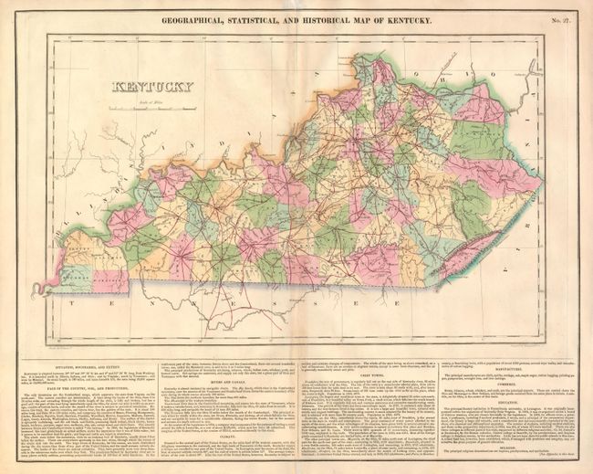
Subject: Kentucky

Period: 1826-7 (published)

Publication: A Complete Historical, Chronological, And Geographical American Atlas

Color: Hand Color

Size:
19 x 11.4 inches
48.3 x 29 cm
Download High Resolution Image
(or just click on image to launch the Zoom viewer)

The map is on a full folio sheet (22" x 17.6") with English text below giving a brief description of Kentucky's Boundaries, Productions, Rivers, Climate, Chief Towns, Manufactures, Commerce, Education, and Religion. The finely engraved map delineates the counties, roads and major towns. Kentucky and Tennessee are almost always shown on the same map, so it is uncommon to find Kentucky alone during this period. Drawn by Fielding Lucas and engraved by Young & Delleker.

References:

Condition: B

Original color with some toning along the centerfold.

Estimate: $200 - $250

Unsold

Closed on 6/2/2010

Archived