Subject: Southwestern United States
Period: 1908-1910 (dated)
Publication:
Color: Printed Color
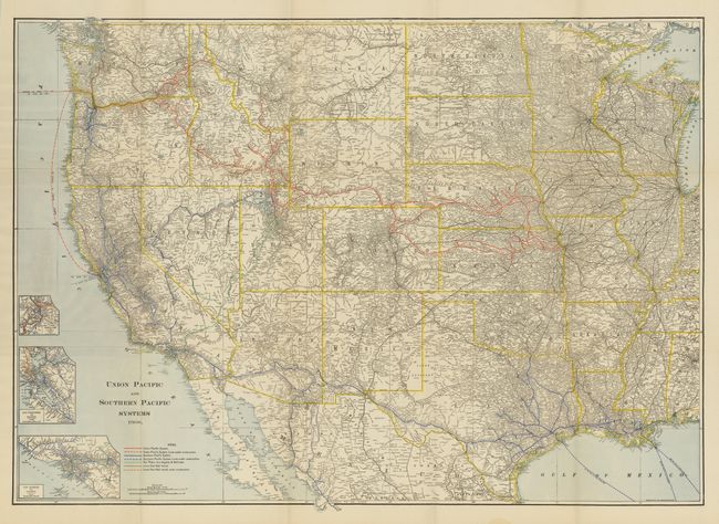
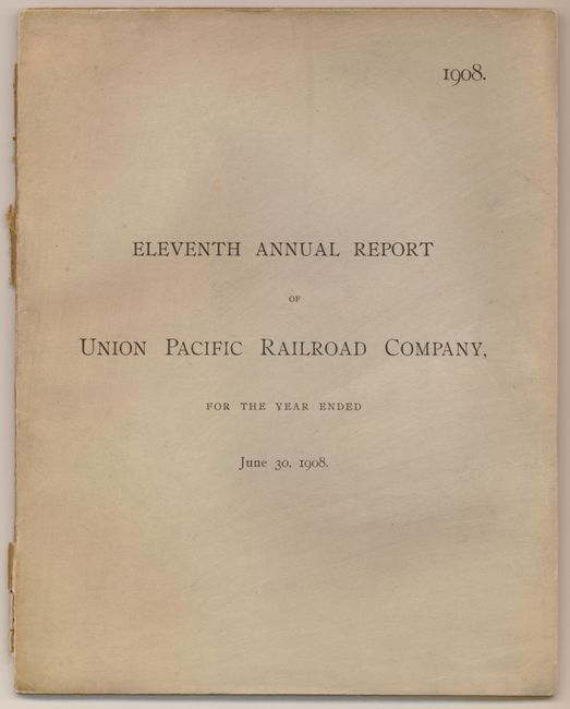
1) Union Pacific and Southern Pacific Systems, by Rand McNally & Co., 1908, (41.25 x 29.75"). Large and very detailed map that describes all railroads west from Lake Michigan. Names hundreds of railroads with the lines of the Union Pacific and Southern Pacific shown in overprinted color. Legend with seven different colors locate operational lines and those under construction. Also locates through color the San Pedro, Los Angeles & Salt Lake system, as well as other lines half owned by the Union Pacific. The detailed insets show the rail lines in the vicinity of Los Angeles, San Francisco, and Portland, Oregon. All state boundaries are outlined in attractive yellow wash coloring. Folds into original printed wrapper titled, "Eleventh Annual Report of the Union Pacific Railroad Company for the Year Ending June 30, 1908." Contents are tight and clean. Back cover is detached and spine is mostly perished. Map is very good with bright color, but a few small fold intersection splits. (A)
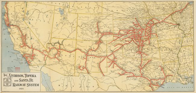
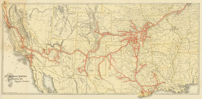
2 & 3) A pair of The Atchison, Topeka and Santa Fe Railway System maps, dated 1910 and 1924. Both were printed by Montrose & Clarke Co. and feature bright full color with all railroads delineated in strong red overprinting. Locates Double Tracks, Projected, Spur Tracks and Trackage Rights with various line types. Each extends from Chicago westward to include California, Nevada, Colorado, Arizona, New Mexico, etc. Both measure approximately 36" x 17 and are blank on verso. A great pair of Santa Fe Railroad maps in near fine condition. (A)
References:
Condition:
See individual descriptions.