Catalog Archive
Auction 132, Lot 169

"[Lot of 2] Map of the States of Virginia and Maryland [and] Map of the States of Kentucky and Tennessee", Hinton, John Howard

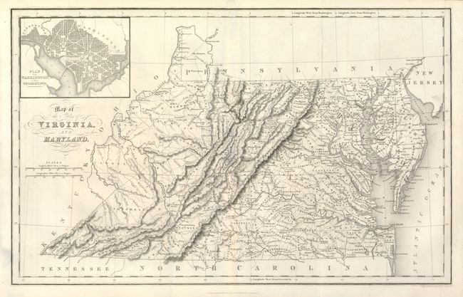
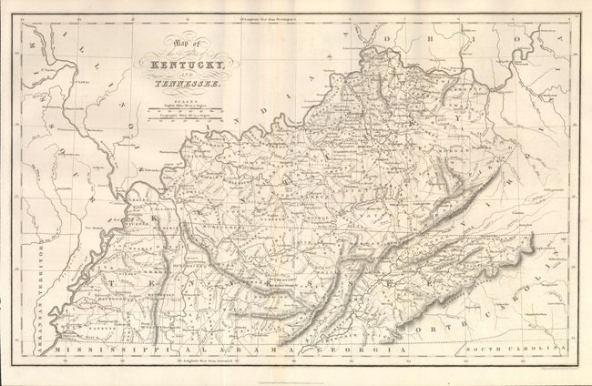
Subject: Virginia, Maryland, Kentucky & Tennessee

Period: 1831 (dated)

Publication: The History and Topography of the United States

Color: Black & White

Size:
15 x 9.75 inches
38.1 x 24.8 cm
Download High Resolution Image
(or just click on image to launch the Zoom viewer)

1) Map of the States of Virginia and Maryland is a highly detailed map delineating the topography, settlement, roads, and early railroads with a plan of Washington and Georgetown inset at upper left.

2) Map of the States of Kentucky and Tennessee is an exceptionally detailed map of the two states filled with information including the early county organization and roads. In eastern Kentucky, Floyd County is notably oversized. In the southeast corner of Tennessee is a large region labeled Cherokee Indians.

References:

Condition: A

Both near flawless with original margins.

Estimate: $160 - $200

Sold for: $200

Closed on 6/2/2010

Archived