Catalog Archive
Auction 132, Lot 104

"Carte Generale des Etats-Unis et du Mexique comprenant l'Amerique Centrale et les Antilles (Etats de l'Est)", Andriveau-Goujon, E.

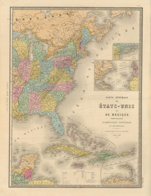
Subject: Eastern North America and West Indies

Period: 1876 (dated)

Publication:

Color: Hand Color

Size:
18 x 24.5 inches
45.7 x 62.2 cm
Download High Resolution Image
(or just click on image to launch the Zoom viewer)

Attractive, large map of the Eastern United States, the Yucatan Peninsula and the West Indies with insets of Lesser Antilles, Atlantic travel and cable routes, and Long Island. A color key at bottom identifies the colonial possessions of six countries. The legend locates forts, mines, railroads, wagon roads, canals and sea routes. The full map was printed on two sheets meant to be joined. This is only the eastern sheet, but it contains the title and imprint so it stands on its own quite admirably.

References:

Condition: A+

Beautiful example with fine original coloring, dark impression and wide margins.

Estimate: $150 - $190

Unsold

Closed on 6/2/2010

Archived