Catalog Archive
Auction 131, Lot 825

"A Chart of the Northern Part of the Bay of Bengal, Between Point Palmiras and The Aracan Shore…", Laurie & Whittle

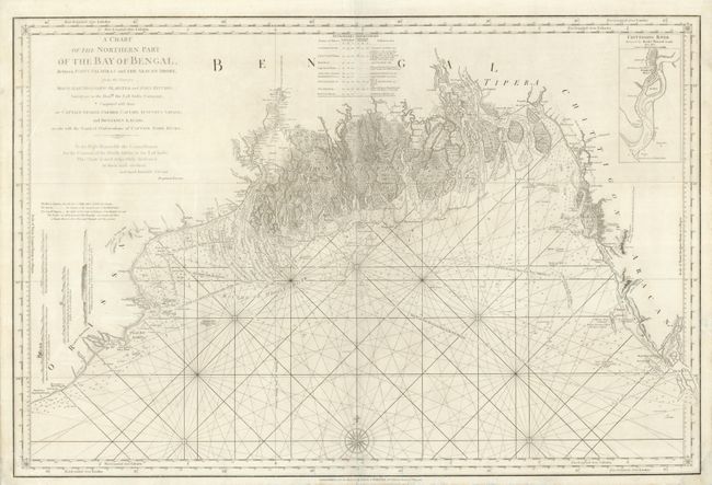
Subject: India and Bangladesh

Period: 1794 (dated)

Publication:

Color: Black & White

Size:
35.5 x 23.8 inches
90.2 x 60.5 cm
Download High Resolution Image
(or just click on image to launch the Zoom viewer)

This is an extremely detailed, large-scale chart of the Bay of Bengal and the Ganges-Brahmaputra delta. It was compiled from the surveys made by Bartholomew Plaisted and John Richie, surveyors of the East India Company, with updates by Captain George Farmer, Captain Augustus Savage and Benjamin Lacam. The chart includes several coastal approach views and extensive information on tides, soundings, shoals, etc., and includes an inset plan of the Chittigong River.

References:

Condition: B+

The centerfold has been repaired and reinforced with tissue on verso, and there are several repaired edge tears in the margins, a couple of which just enter the map border.

Estimate: $275 - $350

Sold for: $200

Closed on 3/17/2010

Archived