Catalog Archive
Auction 131, Lot 676

"Carte de la Petite Tartarie Dressee par order de l'Imperatrise de toutes les Russien", Leth, Hendrik de
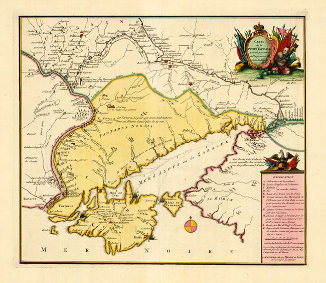
Subject: Ukraine

Period: 1785 (circa)

Publication:

Color: Hand Color

Size:
18.5 x 16 inches
47 x 40.6 cm
Download High Resolution Image
(or just click on image to launch the Zoom viewer)

This superb, scarce map of the southern part of Ukraine with Crimea is based on a Russian map. It depicts the positions of Russian and Turkish troops with an extensive explanation key. The Ukrainian defense line of mighty fortresses is shown stretching between the Dnieper and Donets rivers. The map was drawn after Russia's annexation of the Crimean Khanate in 1783.

References:

Condition: A+

Fine impression and original color with wide original margins.

Estimate: $1,900 - $2,300

Sold for: $1,700

Closed on 3/17/2010

Archived