Catalog Archive
Auction 131, Lot 637
"Comte de Pirmont"
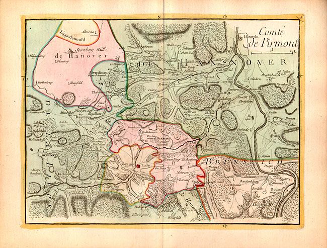
Subject: Germany
Period: 1759 (published)
Publication: Atlas Portatif…
Color: Hand Color
Size:
11 x 8.3 inches
27.9 x 21.1 cm
Download High Resolution Image
(or just click on image to launch the Zoom viewer)
(or just click on image to launch the Zoom viewer)