Subject: Portugal
Period: 1608-1705
Publication:
Color: Black & White
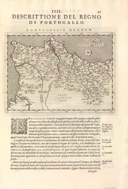
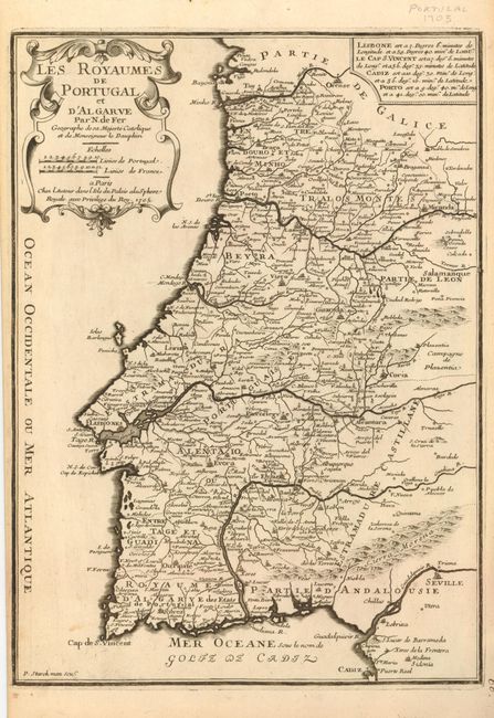
These two maps present a nice comparison of Portugal. The first (10 x 6.7") is a modern map from Giovanni Magini's quarto edition of Ptolemy's Geographia, circa 1608. It is oriented with north to the right by a delicately engraved compass rose and engraved in the Italian style with a stippled sea and calligraphic lettering. There is Italian text below the map and on the verso. The second map (10 x 14") was engraved by P. Starckman for Nicolas de Fer's Atlas Cureiux, which was published 100 years later. It shows the Royaume d'Algarve as a distinct region of Portugal.
References:
Condition: A+
Both fine impressions. The second map has a couple insignificant spots, else fine.