Subject: France
Period: 1835 (dated)
Publication:
Color: Hand Color
Size:
19 x 16 inches
48.3 x 40.6 cm
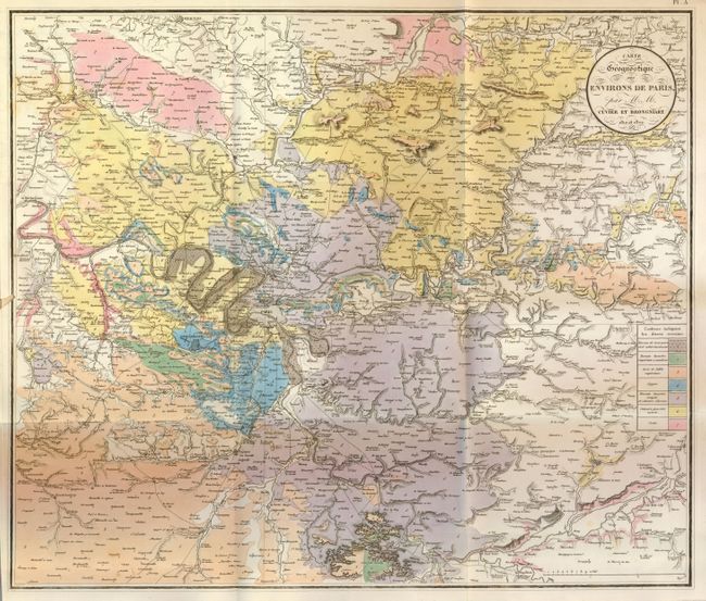
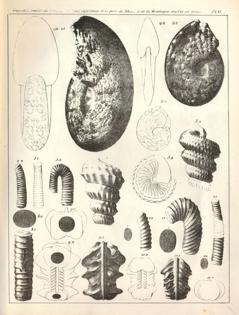
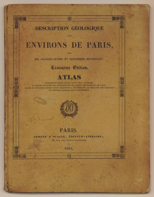
This rare and complete geological atlas contains the map with the title as given above. The folding map, centered on Paris, shows seven geological formation from Maineville in the northwest to Moogent sur Siene in the southeast. Locates many places and shows a good portion of the Seine River. The geology is shown via hand coloring while topography is suggested via fine hachure lines. This map is considered the first modern geological map of France and is, along with the two earlier editions, a landmark in the history of geology. It was drawn by Edmond d'Ocagne. This is the third edition (1835) of the atlas volume, titled "Description geologique des environs de Paris. Troisieme edition Atlas." Also contains 18 plates of geological profiles, geological features, fossil specimens, and two more maps on one page. Quarto, two title pages, original tan paper covered boards.
References:
Condition: B+
The map has fine original coloring and dark impression. Two inch closed opening tear at binding trim. The covers are very nice considering their age and construction: with just a little soiling or staining.