Subject: United States & Mexico
Period: 1862 (dated)
Publication:
Color: Hand Color
Size:
36 x 24.5 inches
91.4 x 62.2 cm
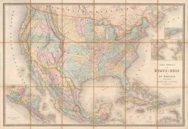
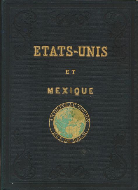
This sectionalized linen-backed Civil War period map is very detailed and has attractive full pastel coloring. The West shows the political rarity of Colona in today's Colorado. Superb provisional western territorial boundaries include Dagotah Territory lying in the region between Minnesota and the Missouri River, Nebraska taking in the rest of the region up to the Rocky Mountains, and the huge Utah Territory stretching between California and Colona. The large territory of New Mexico has lost its southern third to General Baylor's short-lived Confederate Territory of Arizona. Washington stretches all the way to the Continental Divide. Oregon has gained statehood but lost its eastern lands, destined to eventually become the southern portion of Idaho, here named Shoshone and only extending up to Washington; a most unusual configuration. The map details major wagon and emigrant roads, railroads, forts and much more. It extends to show all of Mexico, Guatemala and the Caribbean. Insets show the Petite Antilles, Central America, the Atlantic Ocean, and Long Island. The map folds into original green cloth boards with gilt tilting and decorative gilt and embossed globe with green highlights surrounded by "Andriveau-Goujon. Rue de Bac. 12." An exceptional example of this beautiful map.
References:
Condition: A+
Map and boards are fine. A beautiful example.