Subject: Pennsylvania
Period: 1910-1914 (dated)
Publication:
Color: Printed Color
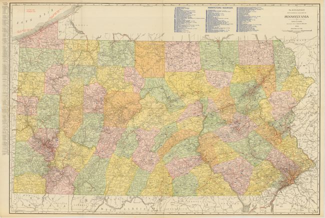
These two maps of Pennsylvania were produced by the Rand McNally company in Chicago. The first is The Rand McNally New Commercial Atlas Map of Pennsylvania, 1914, 37.5" x 25.5". Large scale and filled with fantastic detail. Blue overprinting locates railroads with a key at top naming over 110 lines. Remarkable condition for a map of this size (A+).
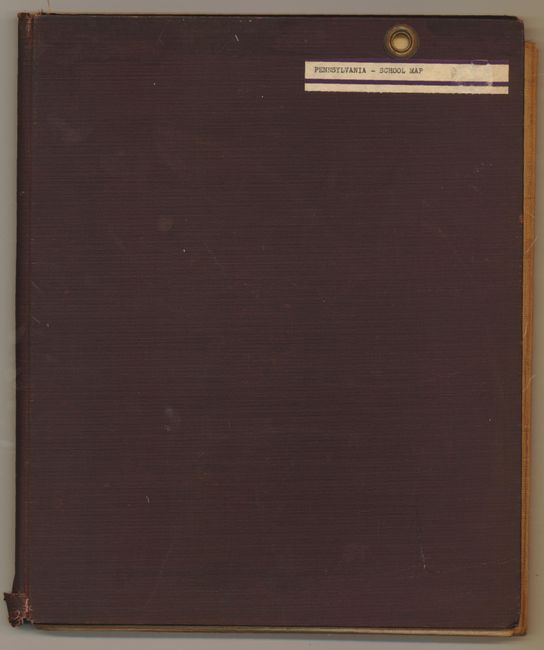
The later map is the huge Rand McNally School Map of Pennsylvania, n.d., 65 x 44". This exceptional school map is segmented and mounted on linen with brass grommets at top to facilitate hanging in the classroom. The last county change that is useful for dating a PA map occurred in 1878 so this map is difficult to date, however our best estimate is circa 1910 based on printing style. The map is filled with details including an extensive network of railroads. Each Civil War battle is marked with a crossed sword icon and the date. Drawn on a scale of five miles per inch. Folds into original red cloth boards with upper left segment attached to front cover, as issued. Very nice condition, especially considering it usage was in schools (A).
References:
Condition:
See individual descriptions.