Subject: New York
Period: 1851 (dated)
Publication:
Color: Black & White
Size:
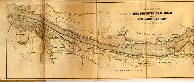
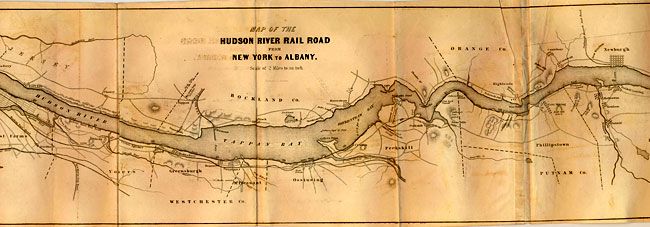
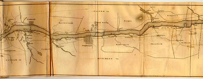
72 x 8 inches
182.9 x 20.3 cm
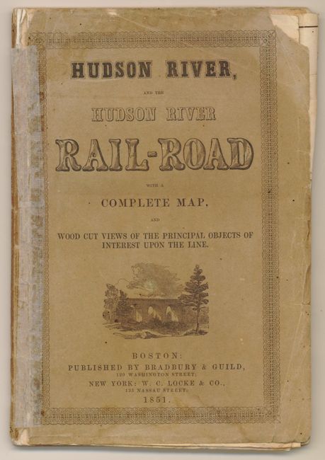
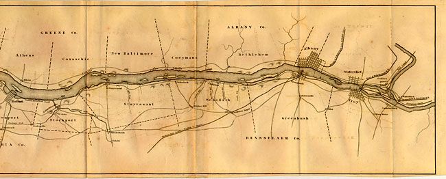
This rare map is contained in the original booklet "Hudson River, and the Hudson River Rail-Road with a Complete Map and Wood Cut Views of the Principal Objects of Interest upon the Line," 50pp, 6" x 9". This is an excellent mid-19th Century guide to the Hudson Valley and it's recently built 144 mile long railway. The map covers the entire length of the line showing local topographical features, roads, towns, county boundaries and river landings. Points of interest are noted such as Sing-Sing prison, ferries, print works, mills and more. The railway and map follow the Hudson River from Brooklyn to Troy. The booklet describes the railroad plus fifty cities, towns and places of interest. Advertisements on the back covers. A rare issue in its first edition with the single sheet map -- a later example is known to exist with the map printed on three separate sheets.
References:
Condition: B+
The map has some light offsetting a little toning and a couple short fold splits. As commonly seen the map has a few mis-folded creases. Condition code is for the map, as the booklet cover has a little lost at upper right corner and roughness along right edge. Covers split at spine with some archival tape to support.