Subject: Atlases
Period: 1867-68
Publication:
Color: Hand Color
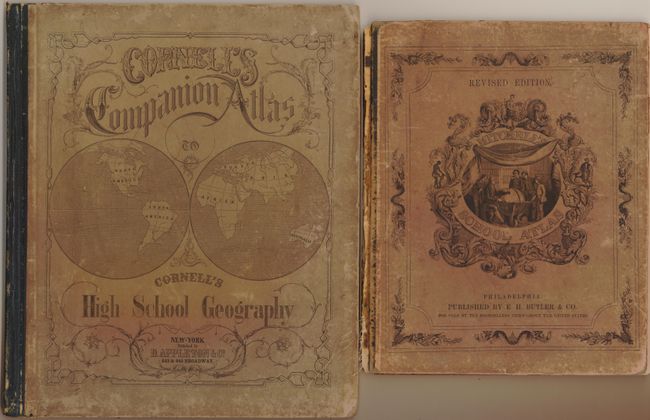
Pair of school geographies.
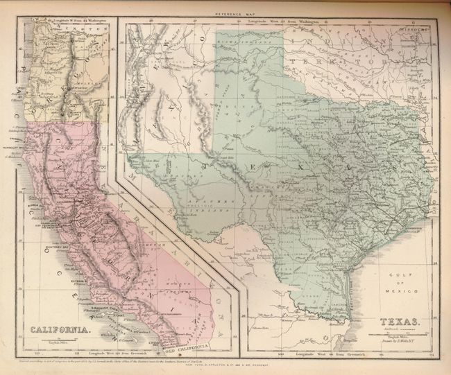
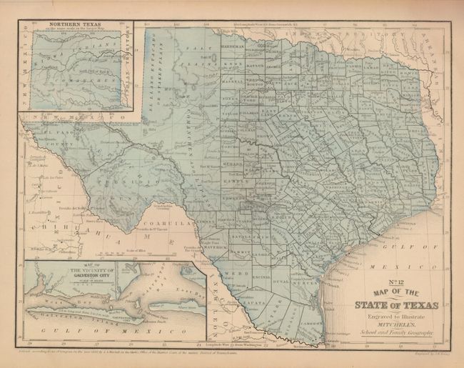
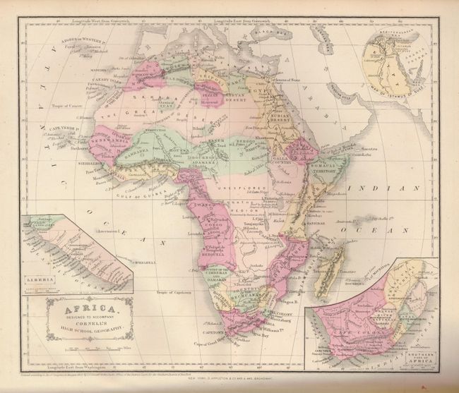
1) D. Appleton, New York, 1867, 11.5 x 14". This high school atlas contains 24 hand colored maps including seven double page, tipped in maps. One single page map has two maps within their own borders, namely California and Texas. 4to, paper boards, title page, Preface, 24 maps, 8 page index. The paper boards are rubbed with corners bumped. All of the maps are very good or fine. (B+)
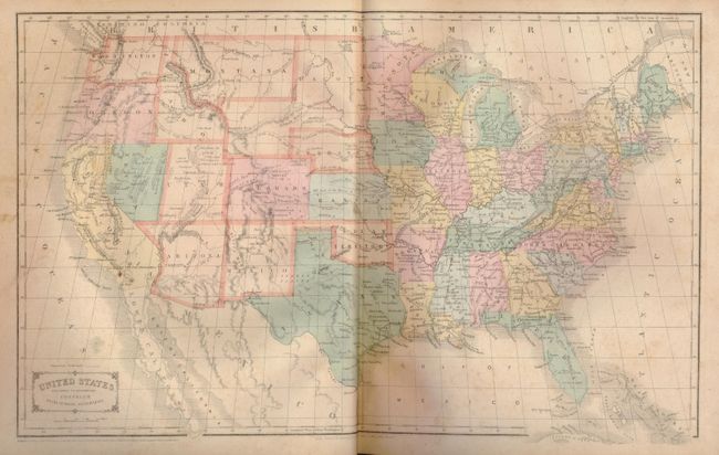
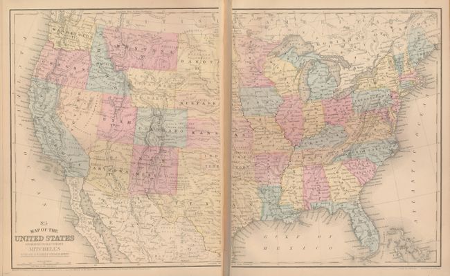
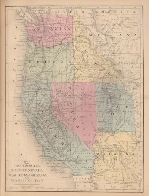
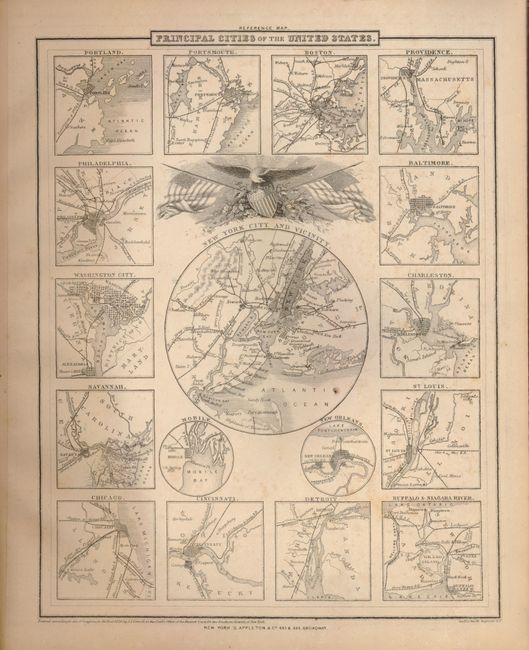
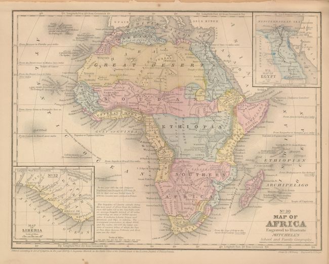
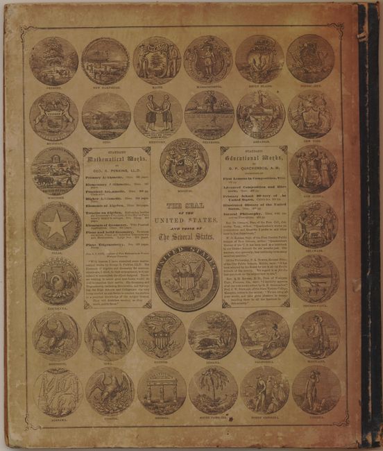
2) E.H. Butler & Co., Philadelphia, 1868, 9.5 x 12". This example of Mitchell's famous school atlas with 22 single and double page maps along with tables and statistics. 4to, pictorial covers, title page, Geograhical Tables, 22 maps. The two maps of the west are particularly nice. The maps clean with fine color. The front cover is separated, owner's signature on first end paper, map of U.S. cleanly split in half, and map of the Middle States nearly loose. The contents of this atlas are good enough to warrant rebinding and repairing the few map problems. (B)
References:
Condition:
See individual descriptions.