Catalog Archive
Auction 130, Lot 772

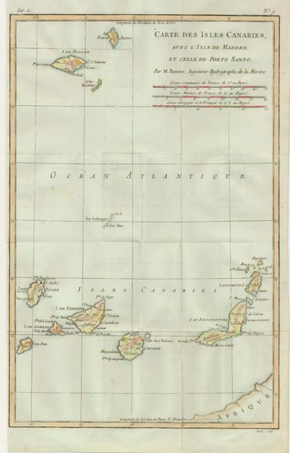
"[Lot of 5] Afrique [and] Carte du Canal de Mosambique… Madagascar… [and] …Guinee … [and] Occidentale de l'Ancien Continent… [and] Isles Canaries…", Bonne, Rigobert
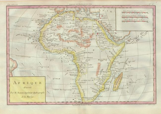
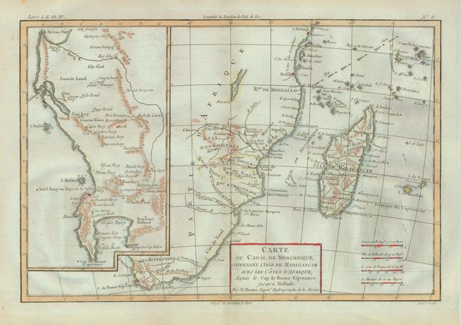
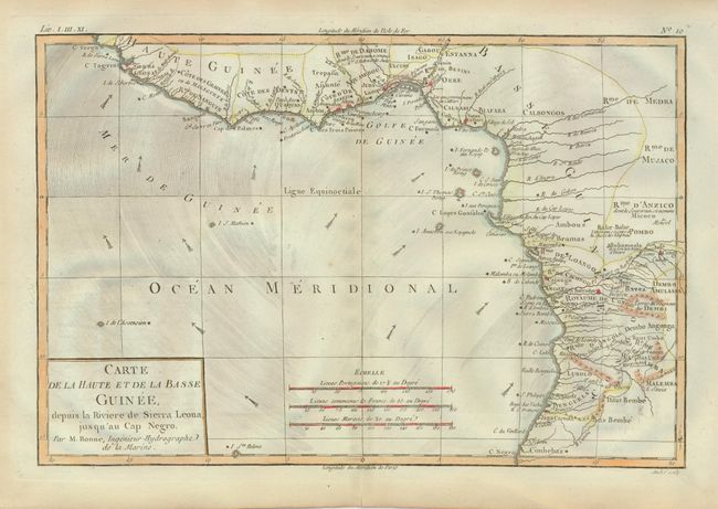
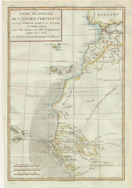
Subject: Africa

Period: 1779 (circa)

Publication:

Color: Hand Color

Size:
12.5 x 8.3 inches
31.8 x 21.1 cm
Download High Resolution Image
(or just click on image to launch the Zoom viewer)

Nice set of Africa maps engraved by Andre. Each shows the directions of the trade winds and includes several different distances scales. The map of the continent is typical of the period with a largely blank interior. The map of Mozambique and Madagascar includes a large inset of the tip of South Africa detailing the Dutch colony there. The map of Guinee covers the coast from Sierra Leone to Cape Negro. The map of western Africa covers from Morocco to Sierra Leone and include the Cape Verde Islands. The map of the Canary Islands includes Madeira. Sizes vary slightly

References:

Condition: A

Estimate: $200 - $250

Sold for: $150

Closed on 12/2/2009

Archived