Catalog Archive
Auction 130, Lot 591
"Europae Tabula IX", Ruscelli, Girolamo
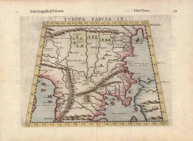
Subject: Balkans
Period: 1564 (published)
Publication: La Geografia di Claudio Tolomeo Alessandrino…
Color: Hand Color
Size:
9.8 x 8 inches
24.9 x 20.3 cm
Download High Resolution Image
(or just click on image to launch the Zoom viewer)
(or just click on image to launch the Zoom viewer)