Catalog Archive
Auction 130, Lot 510
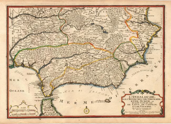
"L'Andalousie, les Royaumes de Grenade, et de Murcie, et Grande Partie de ceux de Leon, de Castille, et de Valence", Fer, Nicolas de
Subject: Spain
Period: 1705 (dated)
Publication: Atlas Cureiux
Color: Hand Color
Size:
14 x 10 inches
35.6 x 25.4 cm
Download High Resolution Image
(or just click on image to launch the Zoom viewer)
(or just click on image to launch the Zoom viewer)