Catalog Archive
Auction 130, Lot 454
"Carte Reduite du Cattegat…", Depot de la Marine
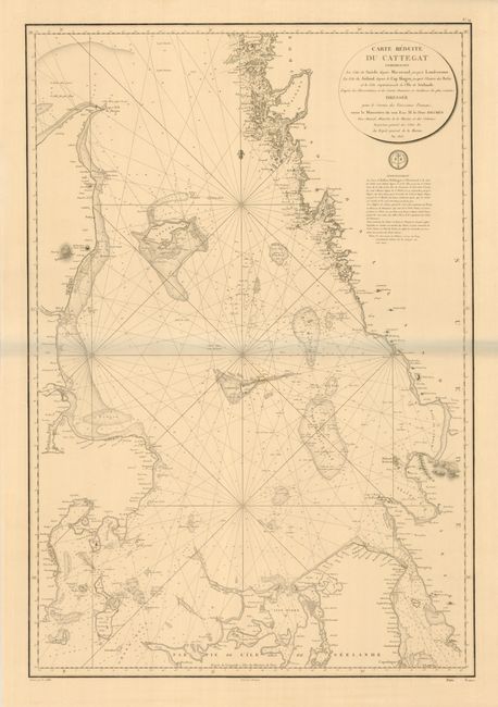
Subject: Baltic
Period: 1813 (dated)
Publication:
Color: Black & White
Size:
22.8 x 33.5 inches
57.9 x 85.1 cm
Download High Resolution Image
(or just click on image to launch the Zoom viewer)
(or just click on image to launch the Zoom viewer)