Subject: Britain
Period: 1703-1760
Publication:
Color:
A very nice group of maps covering the British Isles.
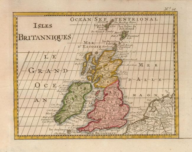
1) Isles Britanniques, by Nicolas Sanson, circa 1738, hand color, (6.5 x 5"). This small map includes a good portion of France and extends to include the Faroe Islands. (A+)
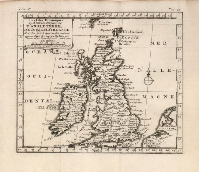
2) Les Isles Britaniques ou Sont les Royaumes d'Angleterre, d'Ecosse, et d'Irlande, by H. van Loon, circa 1703, uncolored, (6.8 x 5.8"). This small copper engraved map includes part of the coastline of France and extends to include the Faroe Islands. (A+)
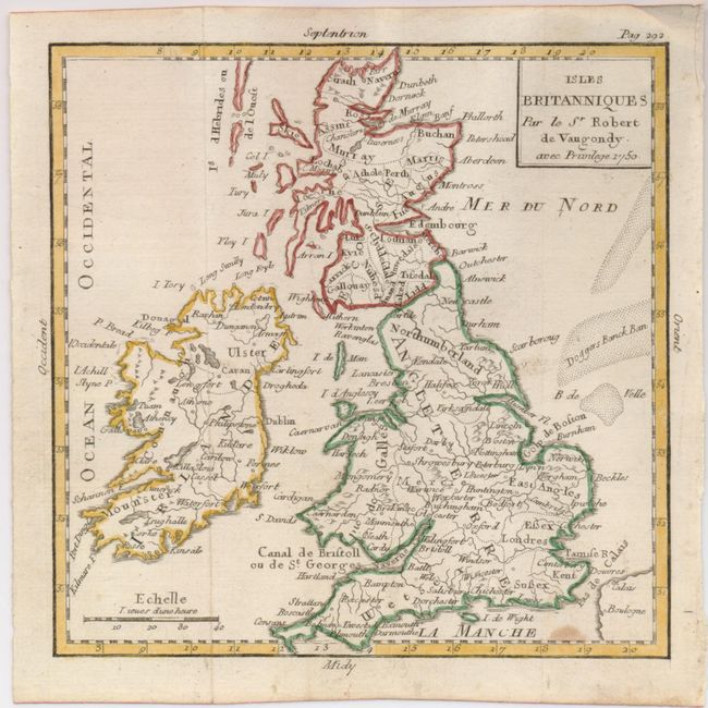
3) Isles Britanniques, by Robert de Vaugondy, 1750, original outline color, (5.8 x 5.8"). This little map includes the fishing banks in the North Sea. (B+)
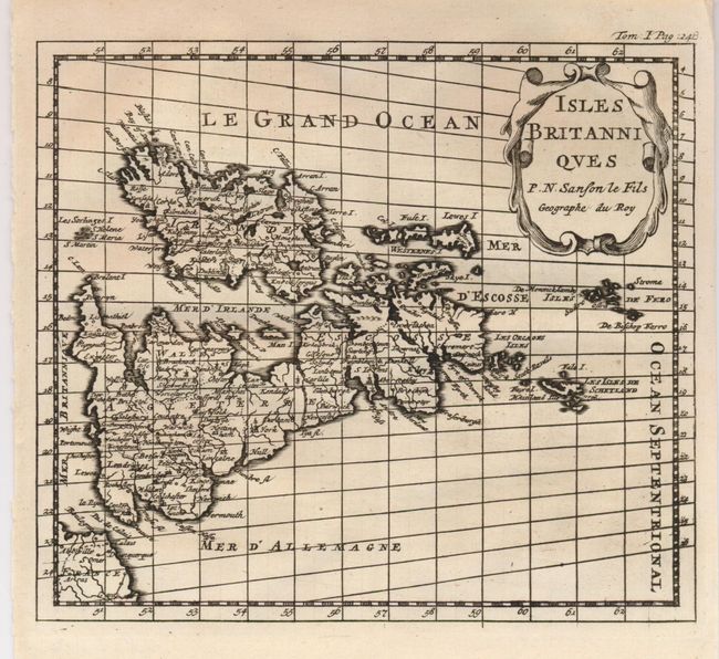
4) Isles Britanniques, by Nicolas Sanson fils, circa 1750, uncolored, (6.5 x 5.6"). This map is oriented with north to the right and is adorned with a nice title cartouche. (A+)
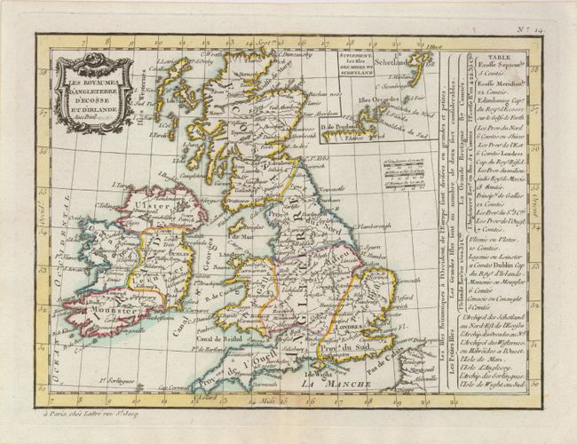
5) Les Royaumes d'Angleterre d'Ecosse et d'Irlande, by Lattre, Paris, circa 1760, original outline color, (9.8 x 7.3"). This map covers all of Britain with an inset of the Shetland and Orca Islands. A table at right details the political divisions. (A+)
References:
Condition:
See individual descriptions.