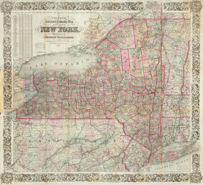
Subject: New York
Period: 1869 (dated)
Publication:
Color: Hand Color
Size:
28 x 24.5 inches
71.1 x 62.2 cm
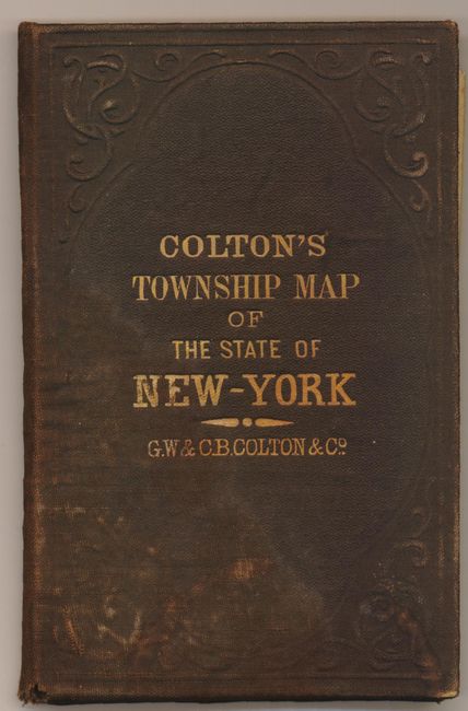
This large, pocket map is dated 1852 in the copyright notice, but this example is updated to 1883, as indicated in the title. The map is filled with detailed information on villages, towns, roads, canals, and a large number of named railroads. Table of "Statistics of Population" at upper left shows a population increase of 1,404,000 people between 1840 and 1865, an astounding 58% increase in only 26 years. Decorated with a wide, elaborate and decorative border. The map was drawn by Geo. W. Colton but we find no attribution for the engraver on this edition. Folds into original brown blind-stamped boards (3.8 x 5.5") with gilt titling and embossed elements. A great and highly detailed pocket map, printed on fine banknote paper.
References:
Condition: B+
The map is very good with just light toning on some folds, nice impression and fine original color. The boards are worn with water mark across lower corner and a little warped.