Subject: Delaware
Period: 1824 (circa)
Publication: A Complete Historical, Chronological, and Geographical American Atlas
Color: Hand Color
Size:
20.5 x 16.5 inches
52.1 x 41.9 cm
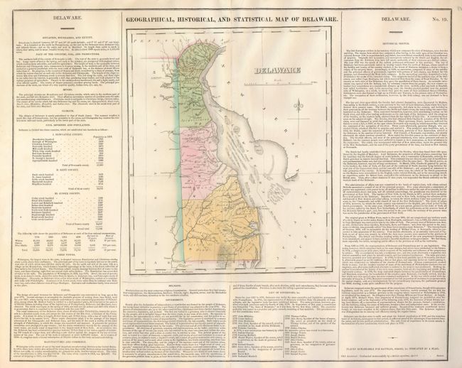
This map (9.5 x 11.6") was beautifully drawn by F. Lucas and finely engraved by the firm of Young & Delleker. It shows the state with a population of less than 73,000 including 4,500 slaves and 13,000 "Free Blacks." In Delaware Bay are shown numerous shoals with the "Main Ship Channel" winding its way though the hazards. There is a modest network of wagon roads. Towns and settlements include George Town, Louisville, and many more including Dover as a larger city, but Wilmington is depicted as a small town indistinguishable from surrounding ones. Cypress Swamp and good detail of the watershed is shown. A most handsome example of this map on a full folio sheet with surrounding text giving historical, physical and political information. A table lists all governors current to Samuel Paynter, 1824.
References:
Condition: B+
Very nice example with just a little roughness along centerfold with reinforcing tissue on verso. Great color and fine impression, full margins on the large sheet.


