Subject: Cartographic Reference
Period: 1989 (published)
Publication:
Color: Black & White
Size:
14.5 x 22.5 inches
36.8 x 57.2 cm
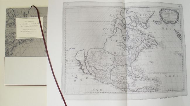
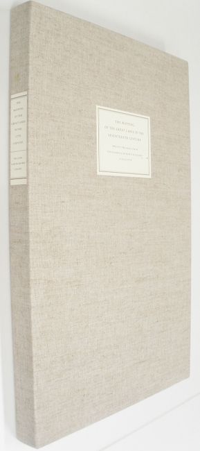
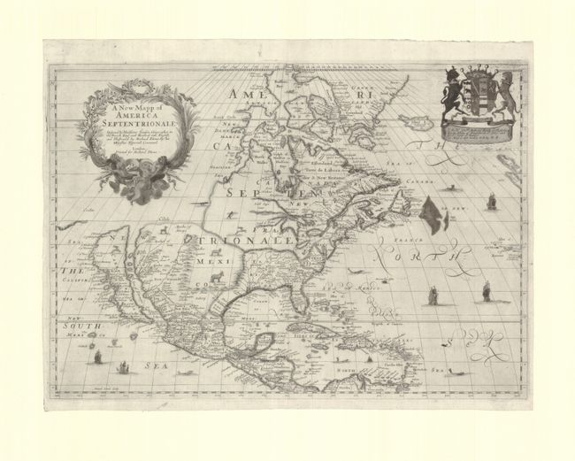
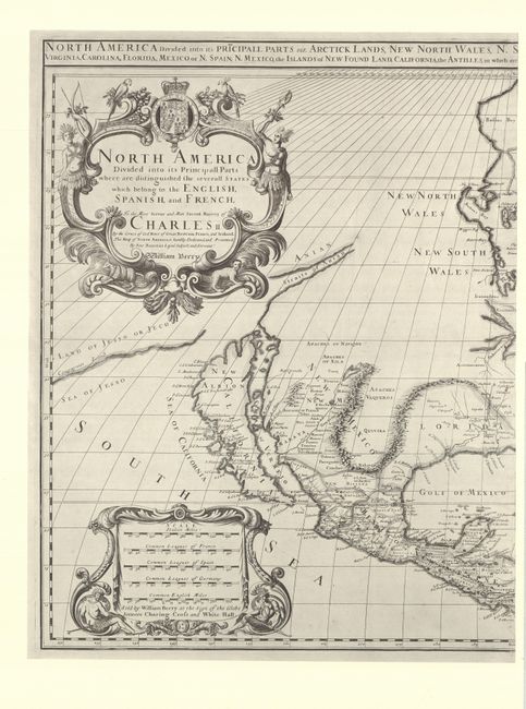
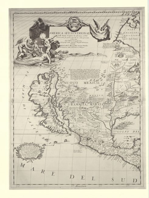
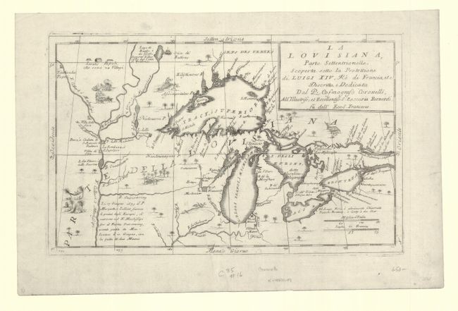
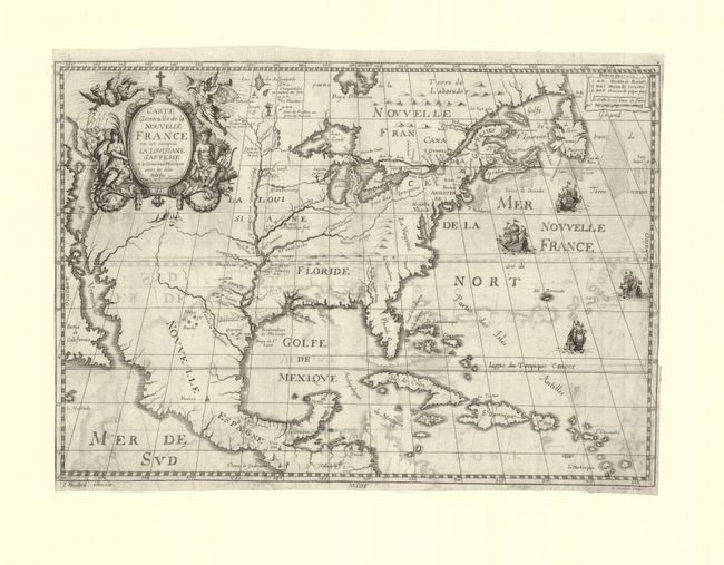
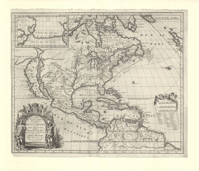
This large hardbound portfolio contains 22 large single-fold maps with the 85 page soft cover book with title as given above. With Foreward by George S. Parker, two Prefaces by David Woodward and another by Norman Fiering, and the Introduction and Commentary by Kevin Kaufman of the University of Wisconsin. Published by the John Carter Brown Library, Providence, Rhode Island. The portfolio has pockets for the booklet and the 22 unbound, folding black & white maps. Each map measures approximately 28 x 21" and contains on the verso detailed information including its history and condition. Sturdy folio clamshell case of ivory and burgundy, cloth over heavy boards. An important work devoted to the study of the mapping of this area.
References:
Condition: A+
Mint.