Catalog Archive
Auction 129, Lot 85
"Amerique Septentrionale et Meridionale", Expilly, Jean Joseph Georges, Abbe d'
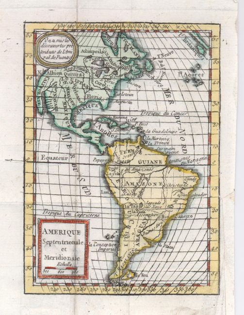
Subject: Western Hemisphere
Period: 1777 (circa)
Publication: Le Geographie Manuel
Color: Hand Color
Size:
3.5 x 5 inches
8.9 x 12.7 cm
Download High Resolution Image
(or just click on image to launch the Zoom viewer)
(or just click on image to launch the Zoom viewer)