Catalog Archive
Auction 129, Lot 827
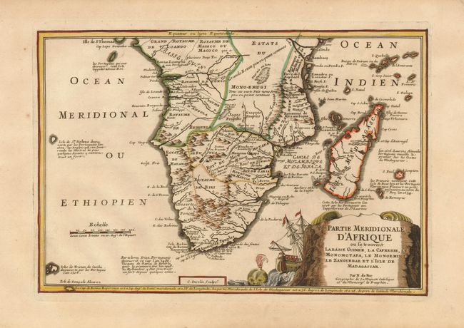
"Partie Meridionale d'Afrique ou se trouvent la Basse Guinee, la Cafrerie, le Monomotapa, le Monoemugi, le Zanguebar et l'Isle de Madagascar", Fer, Nicolas de

Subject: Southern Africa
Period: 1705 (circa)
Publication: Atlas Curieux
Color: Hand Color
Size:
12.6 x 8.5 inches
32 x 21.6 cm
Download High Resolution Image
(or just click on image to launch the Zoom viewer)
(or just click on image to launch the Zoom viewer)

